


12 km | 14,4 km-effort

Benutzer


Kostenlosegpshiking-Anwendung
 SityTrail
IGN / Geografische Institute
SityTrail World
Die Welt öffnet sich für Sie
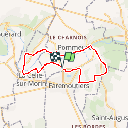
Tour Mountainbike von 12,8 km verfügbar auf Île-de-France, Seine-et-Marne, Pommeuse. Diese Tour wird von tracegps vorgeschlagen.
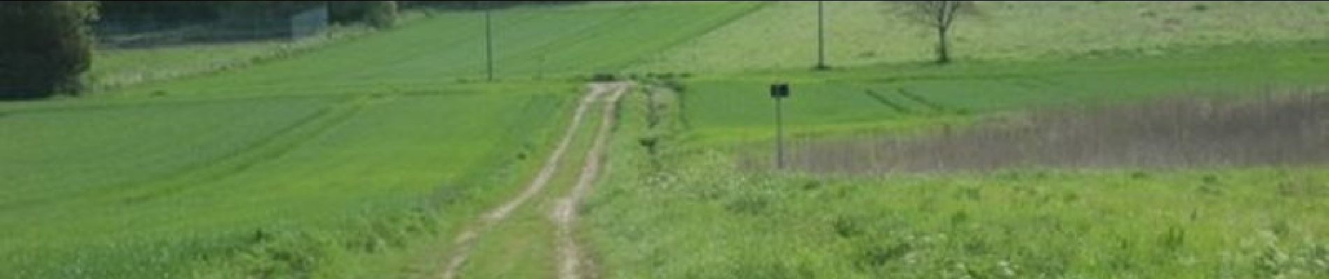
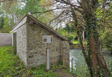
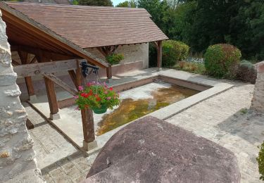
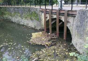
Espace VTT FFC - Les Coteaux du Morin et de l'Aubetin - Circuit n° 13 – Pommeuse Départ : Gare Relié aux circuits voisins de Guérard et Saint-Augustin, voici le centre du site dans sa partie sportive. Les difficultés sont néanmoins accessibles au plus grand nombre, à l’abri de la forêt et en longeant la rivière. Points d’accueils • Office du tourisme : 7 rue du Général de Gaulle - 77120 COULOMMIERS Tél. : 01 64 03 88 09 - mail : off.tourisme@coulommiers.fr • Vélo Nature : 8 avenue de Strasbourg - 77120 COULOMMIERS Tél. : 01 64 20 84 42 - mail : velonature@tele2.fr • Association cycliste partenaire Association Cycliste Pommeuse Boissy (ACPB) Site internet : http://acpommeuseboissy.free.fr

Mountainbike
Zu Fuß
Wandern


sport
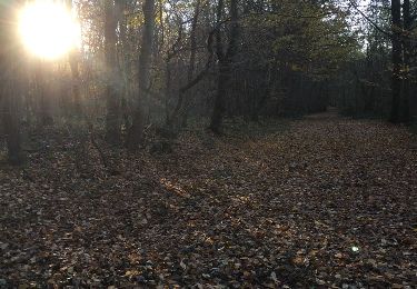
Wandern
Wandern
Wandern

Wandern
Wandern