


12,9 km | 14 km-effort

Benutzer


Kostenlosegpshiking-Anwendung
 SityTrail
IGN / Geografische Institute
SityTrail World
Die Welt öffnet sich für Sie
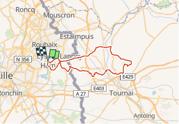
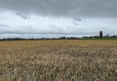
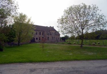
Tour Fahrrad von 47 km verfügbar auf Nordfrankreich, Nord, Hem. Diese Tour wird von tracegps vorgeschlagen.
Circuit assez facile qui part d'Hem pour rejoindre le Mont St Aubert. Seul l'arrivée au mont est un peu difficile, la côte est rude.
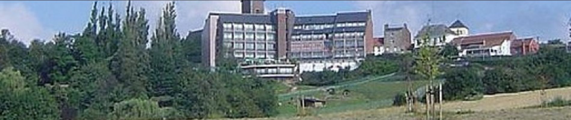
 - Photo 1")
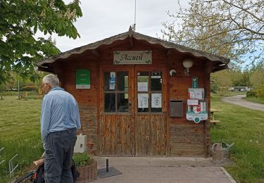
 - Photo 2")

Wandern

Mountainbike

Wandern

Wandern
Wandern
Wandern
Wandern

Zu Fuß
Wandern