


11,5 km | 17,8 km-effort

Benutzer


Kostenlosegpshiking-Anwendung
 SityTrail
IGN / Geografische Institute
SityTrail World
Die Welt öffnet sich für Sie
Tour Mountainbike von 9,9 km verfügbar auf Provence-Alpes-Côte d'Azur, Seealpen, Saint-Auban. Diese Tour wird von tracegps vorgeschlagen.
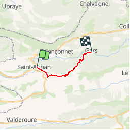
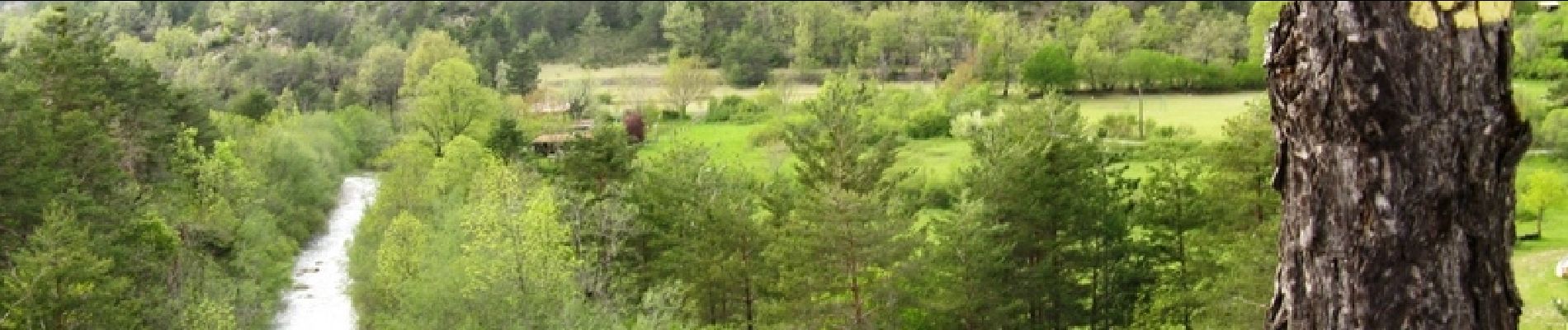
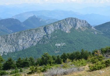
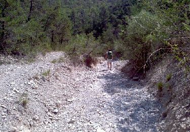
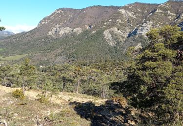
Grande Traversée des Préalpes, les Chemins du Soleil. Parcours officiel labellisé par la Fédération Française de Cyclisme. En quittant St Auban vous entrez peu à peu dans le vif du sujet sur les pentes débonnaires menant au col de Baratus. Cette petite mise en jambe de 300 mètres positifs ne doit pas relâcher votre vigilance, la dernière descente se veut un tant soit peu technique. Un petit sentier tortueux, avec quelques passages à gué, répond à nos attentes les plus joueuses, l’arrivée à Gars en n’est que trop rapide ! Consultez toutes les informations sur les hébergements et les services associés sur la fiche du tronçon.


Zu Fuß
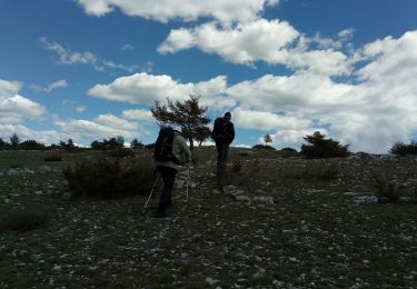
Wandern
Wandern
Wandern
Wandern

Zu Fuß
Wandern
Wandern

Fahrrad