


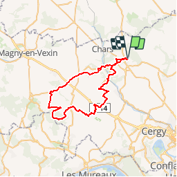

18,9 km | 24 km-effort


Benutzer


Kostenlosegpshiking-Anwendung
 SityTrail
IGN / Geografische Institute
SityTrail World
Die Welt öffnet sich für Sie
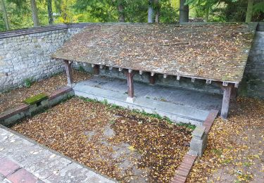
Tour Mountainbike von 46 km verfügbar auf Île-de-France, Val-d'Oise, Marines. Diese Tour wird von tracegps vorgeschlagen.
Au départ de Marines, ce parcours prend la direction de Vigny pour aller ce rendre dans le bois de Galluis. Sortie du bois pour aller découvrir Wy-dit-Joli-Village, puis nous remontons par Commeny pour rejoindre notre point de départ.
Wandern
Zu Fuß

Wandern
Wandern
Wandern

Wandern

Zu Fuß
Wandern
Wandern