


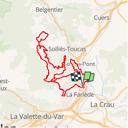

13,1 km | 19,5 km-effort

Benutzer


Kostenlosegpshiking-Anwendung
 SityTrail
IGN / Geografische Institute
SityTrail World
Die Welt öffnet sich für Sie
Tour Mountainbike von 42 km verfügbar auf Provence-Alpes-Côte d'Azur, Var, La Farlède. Diese Tour wird von tracegps vorgeschlagen.
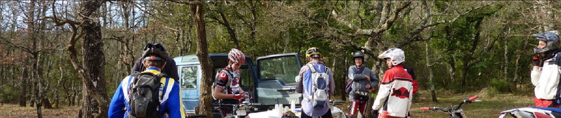
Cool !!! Les Drailles du Reganas vtt var les drailles de reganas partie 1-2 envoyé par sebargos. - Plus de vidéos de sport professionnelle et amateur.


Wandern

Wandern

Wandern

Wandern

Pfad

Pfad

Pfad

Wandern

Fahrrad