


13,7 km | 20 km-effort

Benutzer


Kostenlosegpshiking-Anwendung
 SityTrail
IGN / Geografische Institute
SityTrail World
Die Welt öffnet sich für Sie
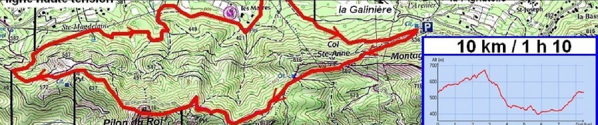
Tour Laufen von 8,4 km verfügbar auf Provence-Alpes-Côte d'Azur, Bouches-du-Rhône, Mimet. Diese Tour wird von tracegps vorgeschlagen.
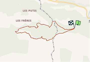
En voiture, traverser Mimet. Le départ se fait du parking situé sur le chemin de Notre Dame des Anges, après l'embranchement avec le chemin de Pignatelle. 400 m de dénivelé. 2/3 sur piste D.F.C.I.


Wandern

Wandern

Wandern

Wandern

Mountainbike
Mountainbike

Mountainbike

Wandern
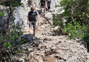
Wandern