


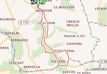

44 km | 49 km-effort


Benutzer


Kostenlosegpshiking-Anwendung
 SityTrail
IGN / Geografische Institute
SityTrail World
Die Welt öffnet sich für Sie
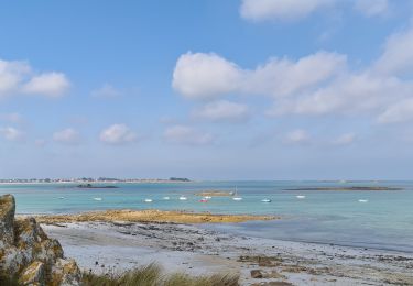
Tour Laufen von 7,2 km verfügbar auf Bretagne, Finistère, Plouider. Diese Tour wird von tracegps vorgeschlagen.
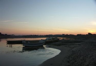
Depuis le départ de Pont du Chatel , une balade enchanteresque dans la vallée de la Flêche au plus près de l'eau, à éviter toutefois en hiver lors de grosse précipitation , respecter la faune sauvage : héron , fouines, saumons.
Radtourismus
Nordic Walking

Zu Fuß
Wandern

Wandern

Fahrrad
Fahrrad
Wandern