


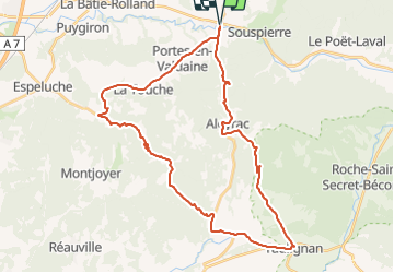

9,8 km | 13,6 km-effort

Benutzer


Kostenlosegpshiking-Anwendung
 SityTrail
IGN / Geografische Institute
SityTrail World
Die Welt öffnet sich für Sie
Tour Fahrrad von 40 km verfügbar auf Auvergne-Rhone-Alpen, Drôme, La Bégude-de-Mazenc. Diese Tour wird von tracegps vorgeschlagen.
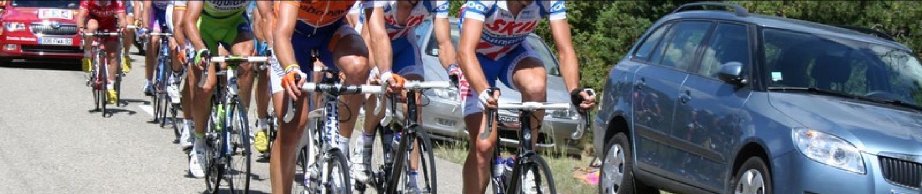
Avant le passage du Tour de France, une petite reconnaissance de la première difficulté de l'étape Montélimar Mont - Ventoux.


Wandern

Wandern

Wandern

Wandern

Wandern

Wandern

Wandern

Wandern

Wandern