


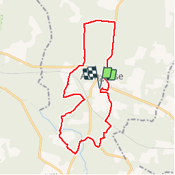

7,6 km | 8,2 km-effort

Benutzer


Kostenlosegpshiking-Anwendung
 SityTrail
IGN / Geografische Institute
SityTrail World
Die Welt öffnet sich für Sie
Tour Mountainbike von 16,8 km verfügbar auf Neu-Aquitanien, Landes, Arengosse. Diese Tour wird von tracegps vorgeschlagen.
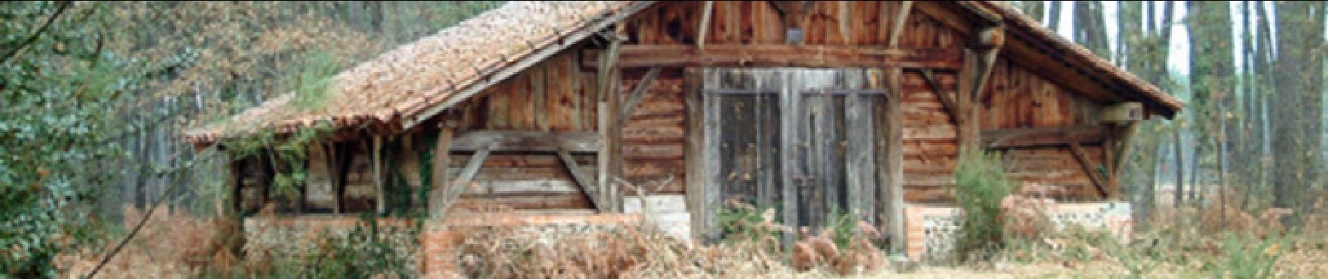
Le circuit se déroule exclusivement dans la forêt alternant partie vallonnée avec un peu d argile ensuite chemin forestier sans difficultés.

Wandern
Wandern
Wandern
Wandern
Wandern

Wandern
Wandern
Wandern
Wandern