


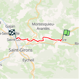

13,7 km | 21 km-effort

Benutzer


Kostenlosegpshiking-Anwendung
 SityTrail
IGN / Geografische Institute
SityTrail World
Die Welt öffnet sich für Sie
Tour Mountainbike von 10,5 km verfügbar auf Okzitanien, Ariège, Lescure. Diese Tour wird von tracegps vorgeschlagen.
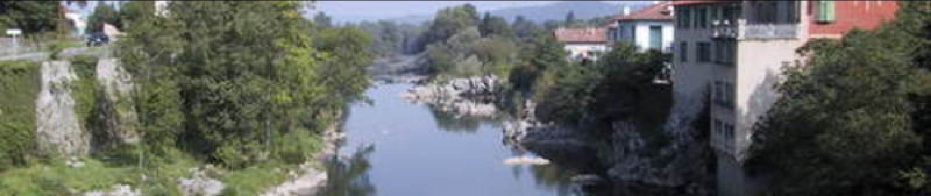
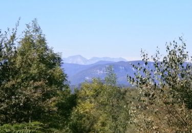
Grande Traversée VTT Ariège Pyrénées - Étape 11 - Lescure - St Lizier. Circuit labellisé par la Fédération Française de Cyclisme. Une courte étape facile dans le Couserans, sans trop de dénivelé mais peu de plat. Agence de Développement Touristique d'Ariège Pyrénées Route de Ganac – BP 30143 – 09004 Foix Cedex Tél : 05 61 02 30 70/fax : 05 61 65 17 34


Mountainbike
Wandern
Pferd
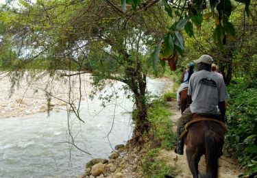
Pferd

Wandern
Wandern
Hybrid-Bike

Zu Fuß
Wandern