


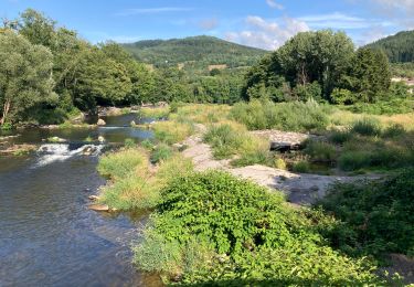
8,2 km | 12,4 km-effort

Benutzer


Kostenlosegpshiking-Anwendung
 SityTrail
IGN / Geografische Institute
SityTrail World
Die Welt öffnet sich für Sie
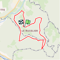
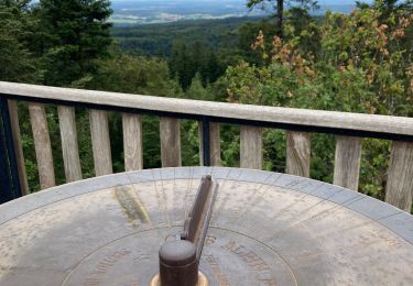
Tour Mountainbike von 8,1 km verfügbar auf Großer Osten, Vogesen, Cheniménil. Diese Tour wird von tracegps vorgeschlagen.
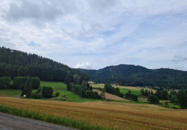
Espace VTT FFC Chemins du Cœur des Vosges - circuit n°34 - Bois Banis Circuit officiel labellisé par la Fédération Française de Cyclisme. Circuit sans difficultés particulières dans le massif du Fossard.

Wandern

Laufen
Wandern

Wandern

Wandern
Hybrid-Bike
Wandern

Wandern