

Condé sur Noireau - Pont d'Ouilly

tracegps
Benutzer

Länge
46 km

Maximale Höhe
241 m

Positive Höhendifferenz
1082 m

Km-Effort
60 km

Min. Höhe
48 m

Negative Höhendifferenz
1082 m
Boucle
Ja
Erstellungsdatum :
2014-12-10 00:00:00.0
Letzte Änderung :
2014-12-10 00:00:00.0
3h00
Schwierigkeit : Schwierig

Kostenlosegpshiking-Anwendung
Über SityTrail
Tour Mountainbike von 46 km verfügbar auf Normandie, Calvados, Condé-en-Normandie. Diese Tour wird von tracegps vorgeschlagen.
Beschreibung
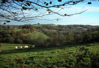
Rando organisée le 10/10/09 par le SLSN de Condé sur Noireau (Sports et Loisirs en Suisse Normande). Superbe rando tant au niveau technique qu'au niveau des paysages de la suisse Normande. Casque obligatoire et indispensable !
Ort
Land:
France
Region :
Normandie
Abteilung/Provinz :
Calvados
Kommune :
Condé-en-Normandie
Standort:
Unknown
Gehen Sie:(Dec)
Gehen Sie:(UTM)
679674 ; 5413709 (30U) N.
Kommentare
Touren in der Umgebung

VTTVLM Athis 2015


Mountainbike
Schwierig
(1)
Athis-Val-de-Rouvre,
Normandie,
Orne,
France

55 km | 72 km-effort
4h 8min
Ja
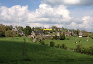
La Chapelle Engerbold


Zu Fuß
Einfach
Condé-en-Normandie,
Normandie,
Calvados,
France

4,3 km | 5,8 km-effort
1h 18min
Ja
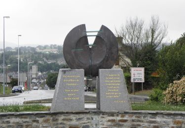
Sur les Traces de la Dame Blanche


Zu Fuß
Einfach
Condé-en-Normandie,
Normandie,
Calvados,
France

3,2 km | 4,2 km-effort
56min
Nein
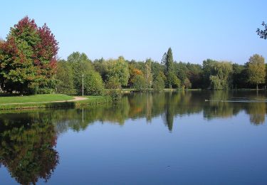
Vallée de la Druance


Zu Fuß
Einfach
Condé-en-Normandie,
Normandie,
Calvados,
France

4,1 km | 5,2 km-effort
1h 11min
Nein

Chemin des Genêts


Zu Fuß
Einfach
Condé-en-Normandie,
Normandie,
Calvados,
France

3,1 km | 4 km-effort
54min
Nein
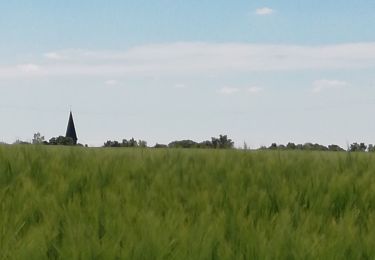
Condé sur Noireau


Wandern
Einfach
Condé-en-Normandie,
Normandie,
Calvados,
France

16 km | 18,9 km-effort
2h 53min
Ja
VTT à Condé sur Noireau


Mountainbike
Schwierig
Condé-en-Normandie,
Normandie,
Calvados,
France

44 km | 58 km-effort
3h 0min
Ja

co.de sur noireau clecy


Wandern
Medium
Saint-Pierre-du-Regard,
Normandie,
Orne,
France

26 km | 33 km-effort
5h 56min
Nein

st pierre Clécy Etape 5


Zu Fuß
Medium
(1)
Saint-Pierre-du-Regard,
Normandie,
Orne,
France

23 km | 29 km-effort
6h 40min
Nein


 SityTrail


