

Bruz - Bourg Des Comptes - Guichen - Guignen - Lassy

tracegps
Benutzer

Länge
52 km

Maximale Höhe
110 m

Positive Höhendifferenz
727 m

Km-Effort
61 km

Min. Höhe
9 m

Negative Höhendifferenz
718 m
Boucle
Ja
Erstellungsdatum :
2014-12-10 00:00:00.0
Letzte Änderung :
2014-12-10 00:00:00.0
2h15
Schwierigkeit : Schwierig

Kostenlosegpshiking-Anwendung
Über SityTrail
Tour Fahrrad von 52 km verfügbar auf Bretagne, Ille-et-Vilaine, Bruz. Diese Tour wird von tracegps vorgeschlagen.
Beschreibung
Circuit de route difficile , parsemé de montées, descentes, faux plats. Panorama très agréable, routes peu fréquentées et revêtement agréable.
Ort
Land:
France
Region :
Bretagne
Abteilung/Provinz :
Ille-et-Vilaine
Kommune :
Bruz
Standort:
Unknown
Gehen Sie:(Dec)
Gehen Sie:(UTM)
594300 ; 5319620 (30U) N.
Kommentare
Touren in der Umgebung
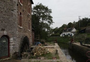
Le long de la Vilaine - Pont Péan


Mountainbike
Schwierig
(1)
Pont-Péan,
Bretagne,
Ille-et-Vilaine,
France

35 km | 41 km-effort
2h 15min
Ja
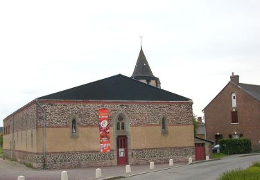
Randonnée autour de Pont-Péan


Wandern
Medium
(1)
Pont-Péan,
Bretagne,
Ille-et-Vilaine,
France

7,9 km | 8,5 km-effort
2h 0min
Ja
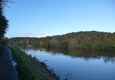
Laillé la Chapelle


Zu Fuß
Einfach
Laillé,
Bretagne,
Ille-et-Vilaine,
France

13,2 km | 15,6 km-effort
3h 33min
Ja
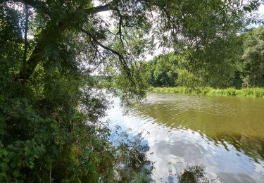
Les landes du Boël


Zu Fuß
Einfach
Guichen,
Bretagne,
Ille-et-Vilaine,
France

5,2 km | 6,1 km-effort
1h 23min
Ja
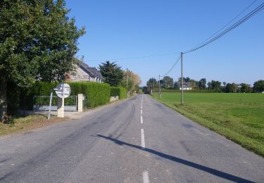
Les bords de Vilaine


Zu Fuß
Einfach
Guichen,
Bretagne,
Ille-et-Vilaine,
France

6,9 km | 8,4 km-effort
1h 54min
Ja
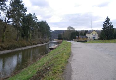
Pont-Réan Le Boël


Zu Fuß
Einfach
Guichen,
Bretagne,
Ille-et-Vilaine,
France

9,3 km | 11,5 km-effort
2h 37min
Ja
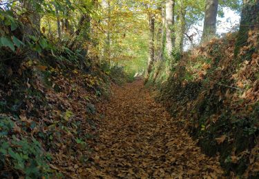
Laillé, Roche qui chome


Wandern
Sehr leicht
Laillé,
Bretagne,
Ille-et-Vilaine,
France

11,4 km | 13,1 km-effort
2h 40min
Ja
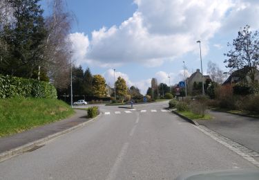
Circuit des deux Monts et du Télégraphe


Zu Fuß
Einfach
Orgères,
Bretagne,
Ille-et-Vilaine,
France

6,2 km | 7,4 km-effort
1h 40min
Ja
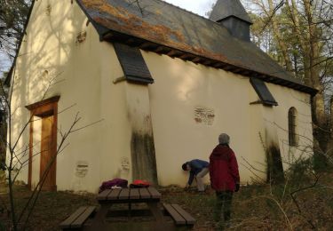
Laille, Chapelle du Désert


Wandern
Sehr leicht
Laillé,
Bretagne,
Ille-et-Vilaine,
France

12,3 km | 14,7 km-effort
3h 7min
Ja


 SityTrail


