


9,1 km | 17,3 km-effort

Benutzer


Kostenlosegpshiking-Anwendung
 SityTrail
IGN / Geografische Institute
SityTrail World
Die Welt öffnet sich für Sie
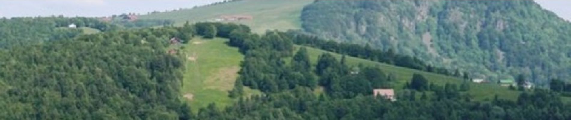
Tour Mountainbike von 38 km verfügbar auf Burgund und Freigrafschaft, Territoire-de-Belfort, Wessenberg. Diese Tour wird von tracegps vorgeschlagen.
Tour sur la face des Vosges aux alentours du Ballon d'Alsace. 3 montées assez difficiles dont celle depuis l'aire de chaînage jusqu'au sommet du Ballon. A faire en été.


Wandern

Wandern

Wandern

Wandern

Wandern
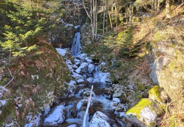
Wandern

Wandern
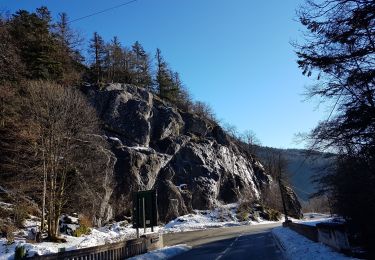
Wandern
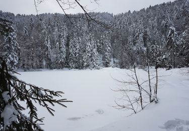
Wandern