


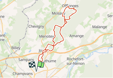


11,8 km | 15,4 km-effort


Benutzer


Kostenlosegpshiking-Anwendung
 SityTrail
IGN / Geografische Institute
SityTrail World
Die Welt öffnet sich für Sie
Tour Mountainbike von 36 km verfügbar auf Burgund und Freigrafschaft, Jura, Dole. Diese Tour wird von tracegps vorgeschlagen.
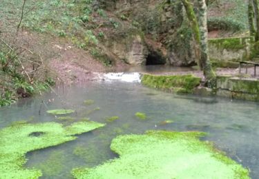
Parcours vtt, départ de Dole, passage par le mont Roland, puis le massif de la Serre. Circuit principalement dans la forêt. Le retour par Offlanges (Joli point de vue), est très roulant.

Wandern
Wandern
Wandern
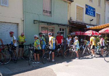
Rennrad
Wandern
Wandern
Wandern
Wandern
Fahrrad