


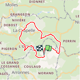

27 km | 34 km-effort


Benutzer


Kostenlosegpshiking-Anwendung
 SityTrail
IGN / Geografische Institute
SityTrail World
Die Welt öffnet sich für Sie
Tour Wandern von 13,1 km verfügbar auf Auvergne-Rhone-Alpen, Allier, Arronnes. Diese Tour wird von tracegps vorgeschlagen.
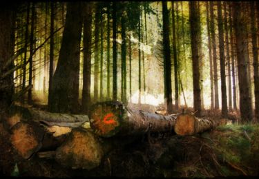
Dénivelé 305m. Départ de l'église de La Chapelle.Suivre le balisage jaune de PR jusqu'à l'intersection avant "le Faugeat" Circuit assez ombragé, peut se faire par temps chaud

Andere Aktivitäten
Wandern

Quad

Wandern

Fahrrad
Wandern
Wandern
Quad
Mountainbike