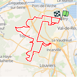

10,9 km | 12,5 km-effort


Benutzer


Kostenlosegpshiking-Anwendung
 SityTrail
IGN / Geografische Institute
SityTrail World
Die Welt öffnet sich für Sie
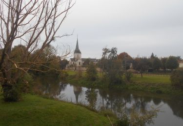
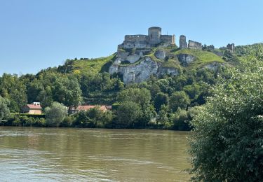
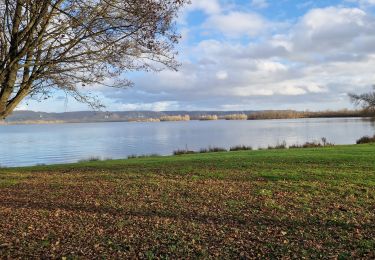
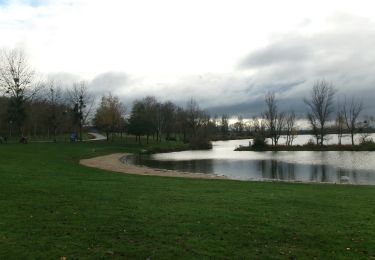
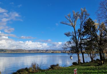
Tour Mountainbike von 42 km verfügbar auf Normandie, Eure, Léry. Diese Tour wird von tracegps vorgeschlagen.
Parcours varié, alternance entre la forêt et les chemins de campagne. Pour le parking, vous avez le centre équestre. Enfin juste un peu au dessus pour vous garer.

Pfad

Wandern
Wandern

sport
Wandern
Wandern
Wandern
Wandern