


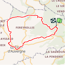


17,7 km | 24 km-effort

Benutzer


Kostenlosegpshiking-Anwendung
 SityTrail
IGN / Geografische Institute
SityTrail World
Die Welt öffnet sich für Sie
Tour Wandern von 17,8 km verfügbar auf Auvergne-Rhone-Alpen, Puy-de-Dôme, La Tour-d'Auvergne. Diese Tour wird von tracegps vorgeschlagen.
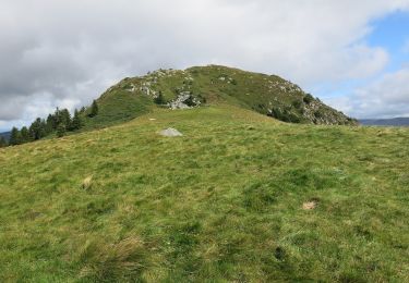
Depuis La Tour d'Auvergne à 945 mètres d'altitude, l'itinéraire progresse jusqu'aux estives à 1265 mètres et conduit au bois de La Charbonnière, site bien connu des amateurs de ski de fond et raquettes en hiver.


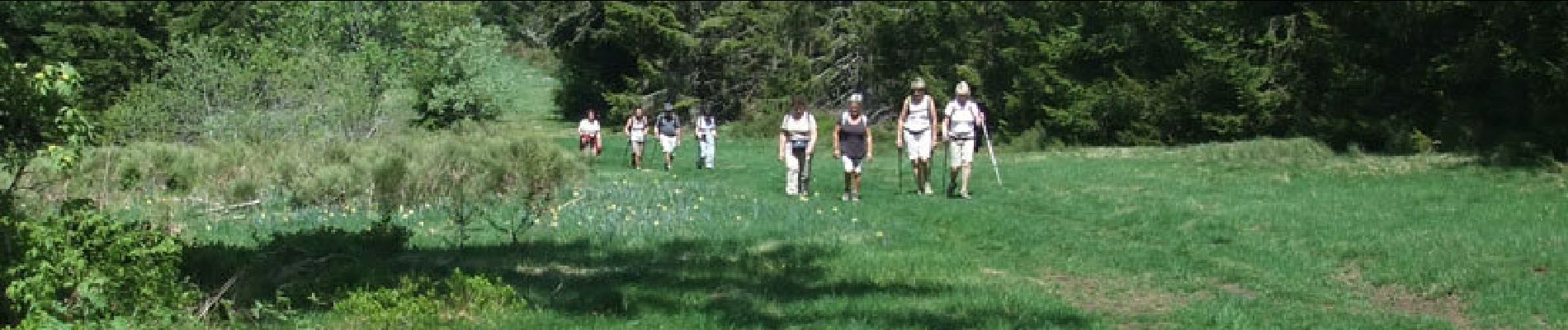
Wandern

Wandern

Wandern

Wandern

Zu Fuß
Zu Fuß
Zu Fuß

Zu Fuß
Zu Fuß