
Ammayé sur Orne

tracegps
Benutzer

Länge
27 km

Maximale Höhe
146 m

Positive Höhendifferenz
534 m

Km-Effort
34 km

Min. Höhe
20 m

Negative Höhendifferenz
540 m
Boucle
Ja
Erstellungsdatum :
2014-12-10 00:00:00.0
Letzte Änderung :
2014-12-10 00:00:00.0
1h40
Schwierigkeit : Medium

Kostenlosegpshiking-Anwendung
Über SityTrail
Tour Mountainbike von 27 km verfügbar auf Normandie, Calvados, Maizet. Diese Tour wird von tracegps vorgeschlagen.
Beschreibung
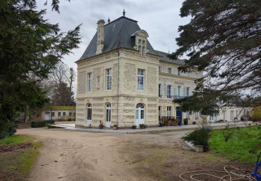
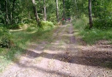
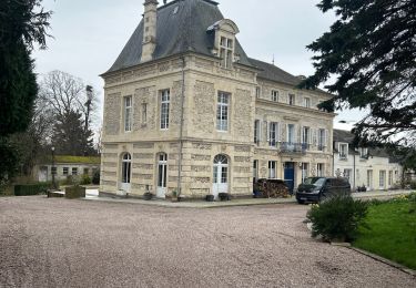
Circuit partant du parking du vélo rail d'Amayé sur Orne et traversant la forêt de Grimboscq. Quelques points de vue assez jolis.
Ort
Land:
France
Region :
Normandie
Abteilung/Provinz :
Calvados
Kommune :
Maizet
Standort:
Unknown
Gehen Sie:(Dec)
Gehen Sie:(UTM)
686866 ; 5437841 (30U) N.
Kommentare
Touren in der Umgebung

curcy trois monts


Mountainbike
Medium
(1)
Montillières-sur-Orne,
Normandie,
Calvados,
France

28 km | 35 km-effort
1h 59min
Ja

Vieux17


sport
Sehr leicht
(1)
Vieux,
Normandie,
Calvados,
France

17,2 km | 20 km-effort
Unbekannt
Ja

Vieux-jp


Wandern
Medium
(1)
Vieux,
Normandie,
Calvados,
France

8,9 km | 10,4 km-effort
2h 37min
Nein

les mines d'or....ne 2016 65 km


Mountainbike
Medium
(1)
May-sur-Orne,
Normandie,
Calvados,
France

65 km | 79 km-effort
5h 4min
Ja

COUDRAY 20 KM


Wandern
Schwierig
(2)
Maizet,
Normandie,
Calvados,
France

19,8 km | 25 km-effort
5h 26min
Ja

Xtrem Vtt Normandie 2013 - Amayé Sur Orne


Mountainbike
Schwierig
Amayé-sur-Orne,
Normandie,
Calvados,
France

45 km | 57 km-effort
2h 49min
Ja

reco mouss 27 12 13


Laufen
Sehr leicht
(1)
Mutrécy,
Normandie,
Calvados,
France

5,7 km | 7,6 km-effort
1h 59min
Nein

ouffi


Wandern
Schwierig
(1)
Ouffières,
Normandie,
Calvados,
France

10 km | 12,7 km-effort
2h 34min
Ja

Autour de Vieux la Romaine


sport
Sehr leicht
Vieux,
Normandie,
Calvados,
France

35 km | 40 km-effort
Unbekannt
Nein


 SityTrail


