


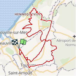


20 km | 22 km-effort


Benutzer


Kostenlosegpshiking-Anwendung
 SityTrail
IGN / Geografische Institute
SityTrail World
Die Welt öffnet sich für Sie
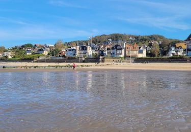
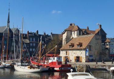
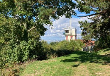
Tour Mountainbike von 23 km verfügbar auf Normandie, Calvados, Trouville-sur-Mer. Diese Tour wird von tracegps vorgeschlagen.
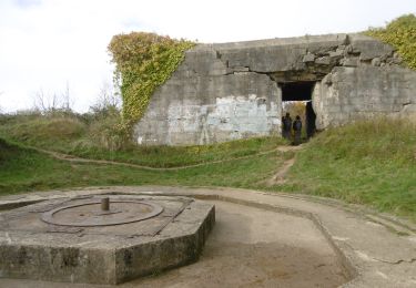
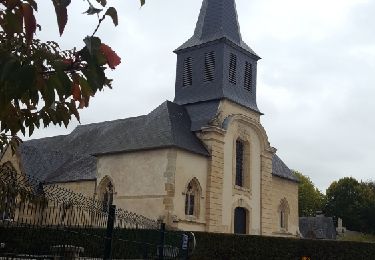
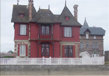
Superbe parcours a faire par temps plutôt sec, quelques raidillons, quelques belles descentes au milieu de très belles maisons normandes.

Wandern

Wandern
Wandern
Wandern
Wandern
Wandern
Wandern
Wandern
Wandern