


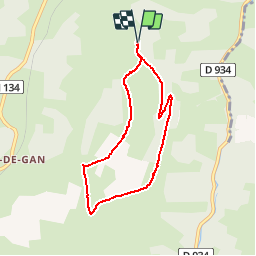

9,8 km | 13,1 km-effort

Benutzer


Kostenlosegpshiking-Anwendung
 SityTrail
IGN / Geografische Institute
SityTrail World
Die Welt öffnet sich für Sie
Tour Wandern von 7 km verfügbar auf Neu-Aquitanien, Pyrenäen-Atlantik, Gan. Diese Tour wird von tracegps vorgeschlagen.
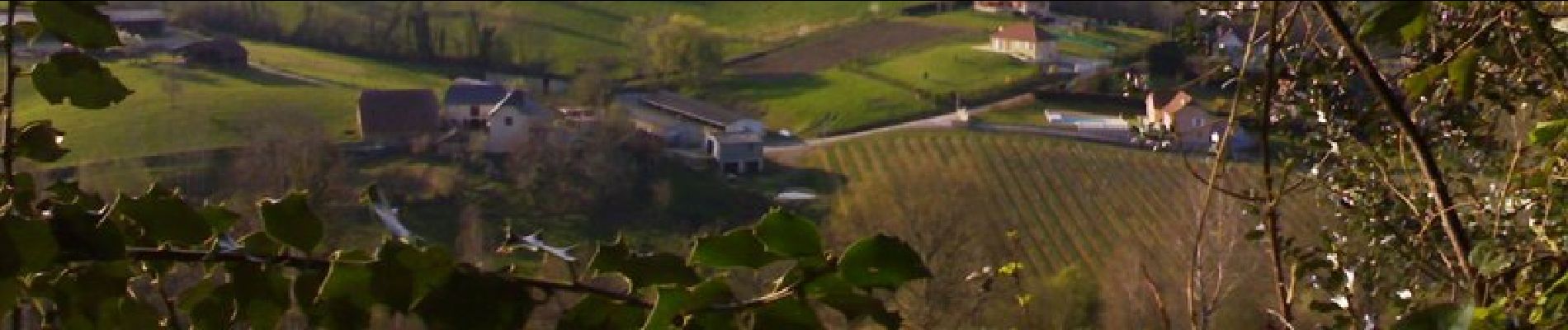
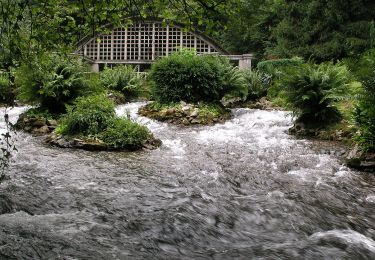
Coteau méconnu et peu fréquenté qui réserve de très belles vues sur les Pyrénées. Accès : prendre à gauche 2,5 km après la sortie de Gan en direction d'Oloron. Continuer sur 1,5 km et se garer au niveau d'un abribus.


Zu Fuß
Wandern

Wandern
Andere Aktivitäten
Zu Fuß
Mountainbike
Wandern
Zu Fuß

Wandern