


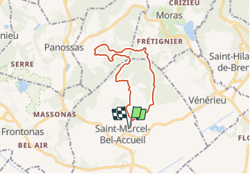

34 km | 43 km-effort


Benutzer


Kostenlosegpshiking-Anwendung
 SityTrail
IGN / Geografische Institute
SityTrail World
Die Welt öffnet sich für Sie
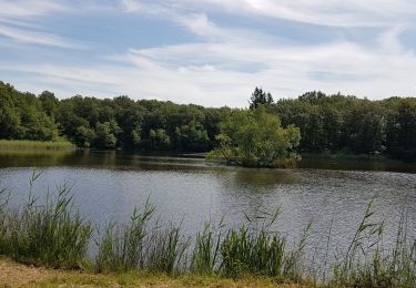
Tour Andere Aktivitäten von 11,8 km verfügbar auf Auvergne-Rhone-Alpen, Isère, Saint-Marcel-Bel-Accueil. Diese Tour wird von pzvictor vorgeschlagen.
Départ du parking de la mairie :
Latitude: 45.6477° / 45° 38' 51" N
Longitude: 5.2377° / 5° 14' 15" E
UTM : 674362 ; 5057344 (Z31) N.
Mountainbike
Zu Fuß
Wandern
Radtourismus
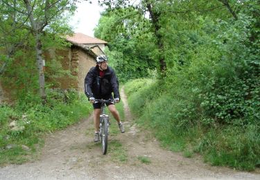
Mountainbike

Wandern
Wandern
Wandern
Wandern