


5 km | 5,5 km-effort


Benutzer


Kostenlosegpshiking-Anwendung
 SityTrail
IGN / Geografische Institute
SityTrail World
Die Welt öffnet sich für Sie
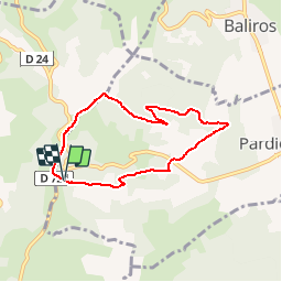
Tour Wandern von 6,5 km verfügbar auf Neu-Aquitanien, Pyrenäen-Atlantik, Pardies-Piétat. Diese Tour wird von tracegps vorgeschlagen.
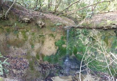
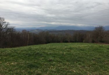
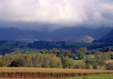
Par beau temps, très belle vue au départ sur la chaîne des Pyrénées avec une table d'orientation. Puis la ballade traverse des bois et des prés avant de remonter sur la crête où le panorama est superbe. Accès à Pardies-Pietat depuis Pau par la rive gauche du gave, puis montée à Notre-Dame de Pietat (c'est indiqué)


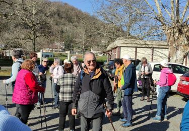
Wandern
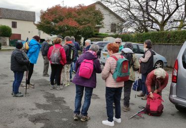
Wandern
Wandern
Andere Aktivitäten
Wandern
Wandern

Wandern
Wandern
Wandern
difficulté moyenne, manque de precision dans le balisage