


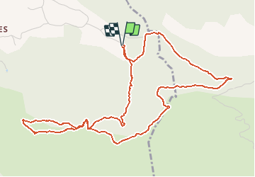

13,7 km | 20 km-effort


Benutzer


Kostenlosegpshiking-Anwendung
 SityTrail
IGN / Geografische Institute
SityTrail World
Die Welt öffnet sich für Sie
Tour Wandern von 6,7 km verfügbar auf Provence-Alpes-Côte d'Azur, Bouches-du-Rhône, Simiane-Collongue. Diese Tour wird von tracegps vorgeschlagen.
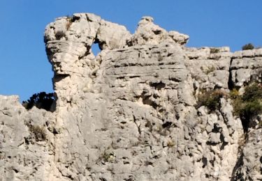
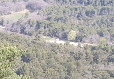
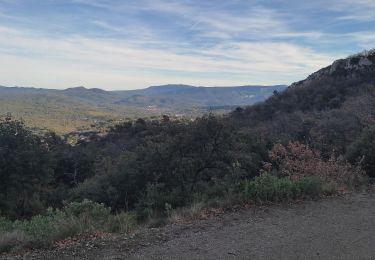
Vue magnifique sur Aix en Provence, Gardanne et sur Marseille. Par temps clair, on peut voir le mont Ventoux, et la chaine des Alpes...

Wandern
Wandern
Laufen

Wandern

Wandern
Wandern
Elektrofahrrad
Wandern
Wandern