

Tour du port d'Aste

tracegps
Benutzer

Länge
14,8 km

Maximale Höhe
1352 m

Positive Höhendifferenz
890 m

Km-Effort
27 km

Min. Höhe
451 m

Negative Höhendifferenz
943 m
Boucle
Nein
Erstellungsdatum :
2014-12-10 00:00:00.0
Letzte Änderung :
2014-12-10 00:00:00.0
4h00
Schwierigkeit : Medium

Kostenlosegpshiking-Anwendung
Über SityTrail
Tour Wandern von 14,8 km verfügbar auf Neu-Aquitanien, Pyrenäen-Atlantik, Aste-Béon. Diese Tour wird von tracegps vorgeschlagen.
Beschreibung
Tour du port d'Aste Monter au Port d’Aste par la route forestière. Plusieurs bergeries puis beaux paysages sur la vallée. Retour par le Port de Béon et Béon. Il reste 1,5 km de route pour rejoindre Aste Béon.
Ort
Land:
France
Region :
Neu-Aquitanien
Abteilung/Provinz :
Pyrenäen-Atlantik
Kommune :
Aste-Béon
Standort:
Unknown
Gehen Sie:(Dec)
Gehen Sie:(UTM)
710761 ; 4766536 (30T) N.
Kommentare
Touren in der Umgebung
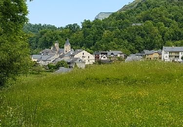
Behost


Wandern
Einfach
(1)
Béost,
Neu-Aquitanien,
Pyrenäen-Atlantik,
France

6 km | 9,9 km-effort
2h 59min
Ja
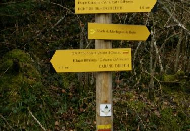
Pics de Cambeilh et petit Gerbe


Wandern
Einfach
(1)
Bielle,
Neu-Aquitanien,
Pyrenäen-Atlantik,
France

13,7 km | 27 km-effort
5h 24min
Ja

LARUNS le tour du valentin G3 "3717878"


Wandern
Schwierig
Laruns,
Neu-Aquitanien,
Pyrenäen-Atlantik,
France

9,3 km | 15,2 km-effort
3h 27min
Ja
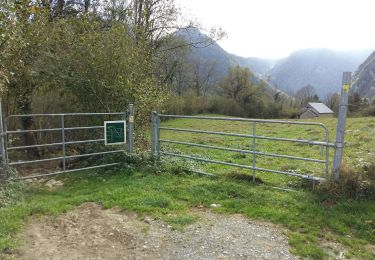
BIELLE l arriu Mage reco 3443541


Wandern
Schwierig
Bielle,
Neu-Aquitanien,
Pyrenäen-Atlantik,
France

8,7 km | 14,7 km-effort
2h 47min
Ja
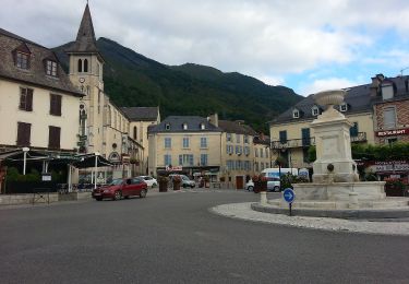
L'eau


Zu Fuß
Einfach
Laruns,
Neu-Aquitanien,
Pyrenäen-Atlantik,
France

4,8 km | 5,9 km-effort
1h 20min
Ja
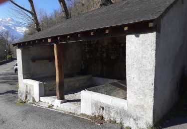
La montagne verte


Zu Fuß
Einfach
Eaux-Bonnes,
Neu-Aquitanien,
Pyrenäen-Atlantik,
France

10,4 km | 17,8 km-effort
4h 2min
Ja
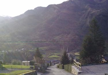
Les carrières


Zu Fuß
Einfach
Louvie-Soubiron,
Neu-Aquitanien,
Pyrenäen-Atlantik,
France

3,4 km | 7 km-effort
1h 35min
Ja
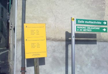
La promenade des trois villages


Zu Fuß
Einfach
Béost,
Neu-Aquitanien,
Pyrenäen-Atlantik,
France

5,1 km | 8,6 km-effort
1h 56min
Ja
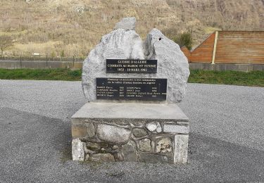
La fontaine d'Esteret


Zu Fuß
Einfach
Gère-Bélesten,
Neu-Aquitanien,
Pyrenäen-Atlantik,
France

3,7 km | 7,6 km-effort
1h 43min
Ja


 SityTrail


