


10,3 km | 14,8 km-effort

Benutzer


Kostenlosegpshiking-Anwendung
 SityTrail
IGN / Geografische Institute
SityTrail World
Die Welt öffnet sich für Sie
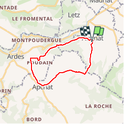
Tour Wandern von 11,1 km verfügbar auf Auvergne-Rhone-Alpen, Puy-de-Dôme, Augnat. Diese Tour wird von tracegps vorgeschlagen.
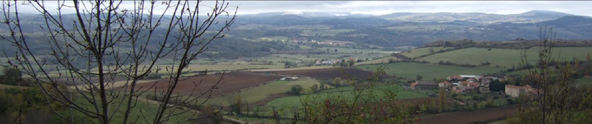
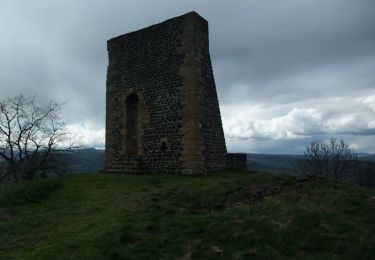
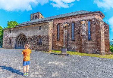
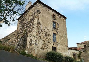
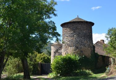
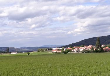
Cette balade en limite sud du Lembron mène à la découverte des villages d'Augnat, Ardes et Apchat riches d'un patrimoine civil et religieux ancien. Balade numérisée sur le terrain par Jean louis Phillipart. Retrouvez cette randonnée dans le topo Guide Chamina Lembron et Pays des Couzes.

Wandern

Zu Fuß
Zu Fuß
Zu Fuß

Fahrrad
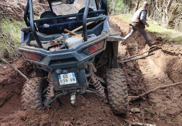
Quad
Wandern

Zu Fuß
Wandern