


17,4 km | 29 km-effort

Benutzer


Kostenlosegpshiking-Anwendung
 SityTrail
IGN / Geografische Institute
SityTrail World
Die Welt öffnet sich für Sie
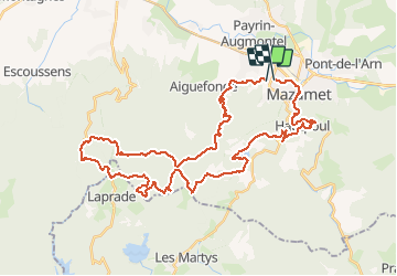
Tour Wandern von 48 km verfügbar auf Okzitanien, Tarn, Aussillon. Diese Tour wird von tracegps vorgeschlagen.
Mazamet est une ville située au Nord de La Montagne Noire. L'itinéraire parcourt les forêts de Montaud jusqu’au Gîte d'etape de FONTBRUNO. La première partie est pavée, puis il commence à suivre une rivière et la forêt devient plus dense, les pistes sont avec de fortes pentes, à la descente passer par le Lac des Montagnès. Après le village médiéval d'Hautpoul, forte descente à partir de ce nid d'aigles et puis de nouveau par la route jusqu’à Mazamet.


Wandern

Wandern

Wandern

Wandern

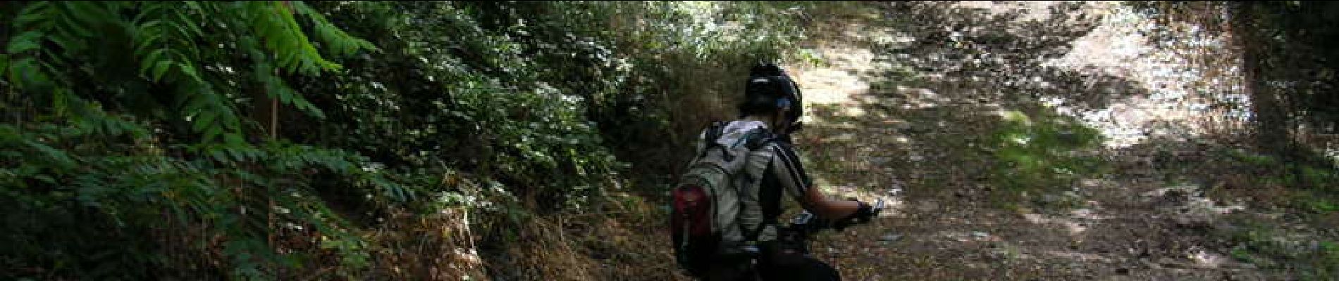
Mountainbike

Wandern

Wandern
Wandern
Mountainbike