


14 km | 25 km-effort


Benutzer


Kostenlosegpshiking-Anwendung
 SityTrail
IGN / Geografische Institute
SityTrail World
Die Welt öffnet sich für Sie
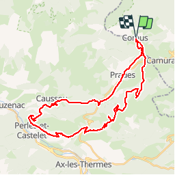
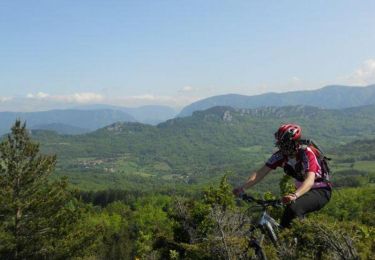
Tour Mountainbike von 42 km verfügbar auf Okzitanien, Aude, Comus. Diese Tour wird von tracegps vorgeschlagen.
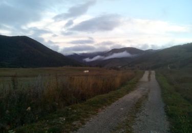
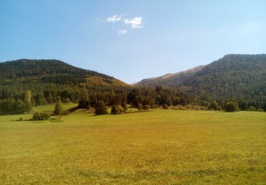
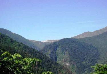
Sortie COMUS 1166 m, pais d'Ailleu, direction PRADES (suivre balisage). Col de Marmara, tourner à droite suivre balisage CAUSSOU. Chemin attention, très raide avec pierres, piste, gir gauche par piste goudronnée. Nous sommes à la vallée d'Ax, (RN907), direction D20 et le village de VAYCHIS. Au village tourner à gauche et emprunter une petite piste goudronnée qui mène à la D613. Puis tout droit, à droite une piste avec balisage CVTT FFC piste facile pour la Foret du Bac d'Ignaux. Après piste plus difficile, laisser balises FFC et suivre le bois direction le col de Pierres Blanches (pente raide), le refuge de la Chioula notre destination (refuge Chioula 1626 m). Retour par le col de Pierres Blanches direction col Rioufred, notre destination MONTAILLOU, avec son château Cathare puis Comus c’est la destination finale de ce circuit, BONNE ROUTE !
Wandern
Schneeschuhwandern
Wandern
Wandern
Wandern
Mountainbike
Mountainbike
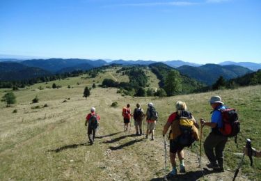
Wandern