


3,8 km | 4,1 km-effort


Benutzer


Kostenlosegpshiking-Anwendung
 SityTrail
IGN / Geografische Institute
SityTrail World
Die Welt öffnet sich für Sie
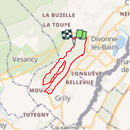
Tour Mountainbike von 12,3 km verfügbar auf Auvergne-Rhone-Alpen, Ain, Divonne-les-Bains. Diese Tour wird von tracegps vorgeschlagen.
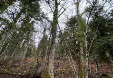
Espace VTT FFC Entre Jura et Léman Circuit officiel labellisé par la Fédération Française de Cyclisme. L'espace VTT FFC Pays de Gex Bellegarde regroupe 13 circuits VTT au départ de 5 sites, répartis sur tout le territoire. Circuit de 12,5 Km avec une première partie commune au précédent. A une bifurcation, la boucle bleue repart en direction du Sud-Est vers Mourex ; après 100m de route, on prend à gauche un chemin descendant très agréable. Le sentier des Dames est la difficulté majeure et finale du parcours. Circuit conseillé aux pratiquants réguliers ou n quête d'efforts. Pour tout renseignement sur la pratique du VTT sur le Pays de Gex-Bellegarde, contacter Bruno LADET à bladet chez ccpg point fr D'autres informations sur le Pays de Gex la Faucille.

Wandern

Wandern
Fahrrad
Fahrrad

Wandern

sport
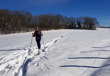
Langlaufen
Mountainbike

Mountainbike