


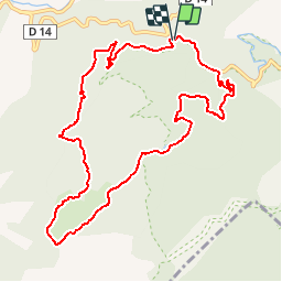

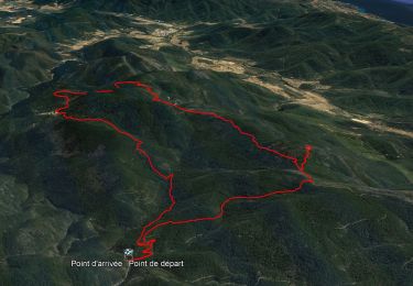
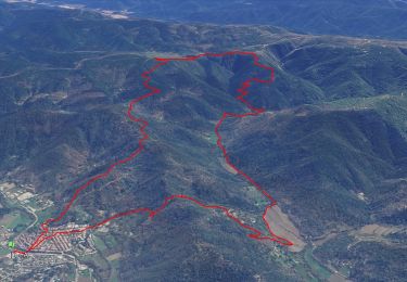
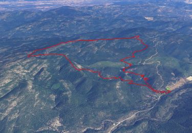
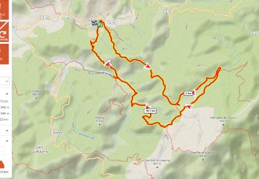
14,4 km | 21 km-effort


Benutzer


Kostenlosegpshiking-Anwendung
 SityTrail
IGN / Geografische Institute
SityTrail World
Die Welt öffnet sich für Sie
Tour Wandern von 11,4 km verfügbar auf Provence-Alpes-Côte d'Azur, Var, Collobrières. Diese Tour wird von cire755082 vorgeschlagen.
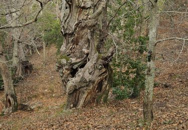
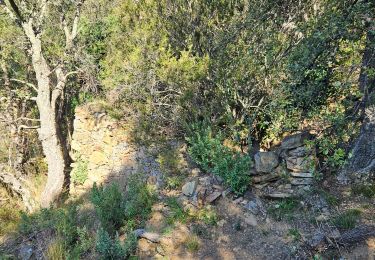
Belle balade facile avec la jolie découverte des menhirs et de la Lave de Desteu (idéal pour le pique nique !)
Wandern
Wandern
Wandern

Wandern

Mountainbike

Wandern
Wandern
Wandern
Wandern