


6,5 km | 9,7 km-effort


Benutzer


Kostenlosegpshiking-Anwendung
 SityTrail
IGN / Geografische Institute
SityTrail World
Die Welt öffnet sich für Sie
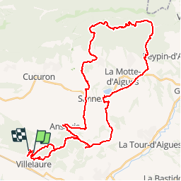
Tour Mountainbike von 51 km verfügbar auf Provence-Alpes-Côte d'Azur, Vaucluse, Villelaure. Diese Tour wird von tracegps vorgeschlagen.
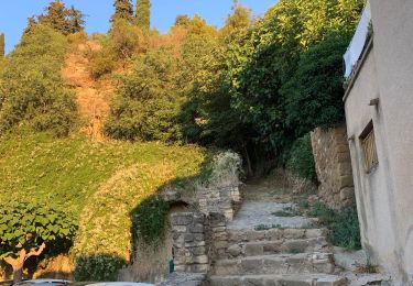
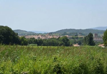
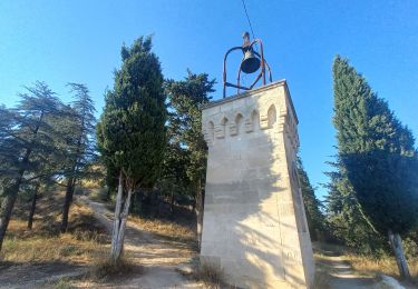
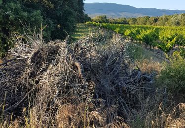
A partir de Villelaure, belle balade au dessus du ravin de l'Escalette, par la Jas de Pécou, les ruines de la jas de Nicolas et celles de la Bastide du Bois.
Wandern

Wandern
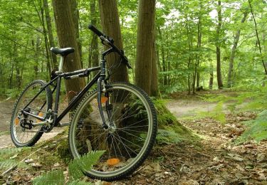
Mountainbike
Wandern
Wandern

Wandern
Fahrrad
Wandern
Wandern