


1,3 km | 3,8 km-effort


Benutzer


Kostenlosegpshiking-Anwendung
 SityTrail
IGN / Geografische Institute
SityTrail World
Die Welt öffnet sich für Sie
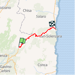
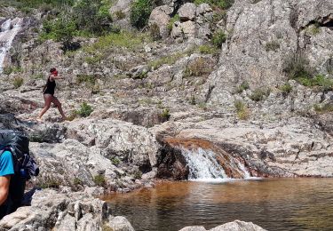
Tour Fahrrad von 31 km verfügbar auf Korsika, Südkorsika, Zonza. Diese Tour wird von tracegps vorgeschlagen.
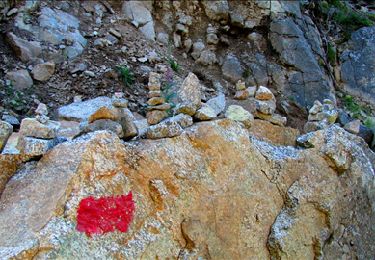
** Etape 02 Col de Bavella --> Solenzara ** Longueur cartographique = 31,387 Km Circuit en deux étapes qui peuvent chacune être effectuées par un aller-retour. Le point culminant est le col de Bavella et ses fameuses aiguilles du même nom. Etape précédente: ** Etape 01 Propriano --> Col de Bavella ** Longueur cartographique = 47,399 Km
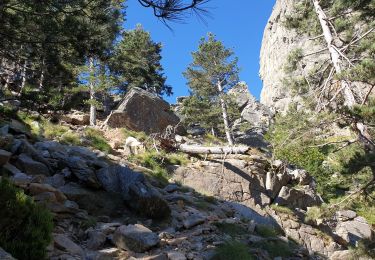
Wandern
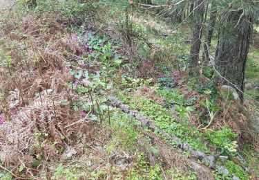
Wandern
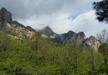
Wandern
Wandern

Wandern
Wandern
Wandern
Wandern