


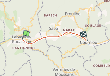

12,9 km | 17,9 km-effort


Benutzer


Kostenlosegpshiking-Anwendung
 SityTrail
IGN / Geografische Institute
SityTrail World
Die Welt öffnet sich für Sie
Tour Mountainbike von 6,5 km verfügbar auf Okzitanien, Tarn, Labastide-Rouairoux. Diese Tour wird von tracegps vorgeschlagen.
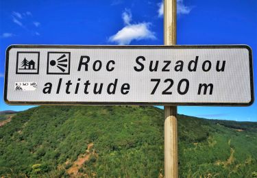
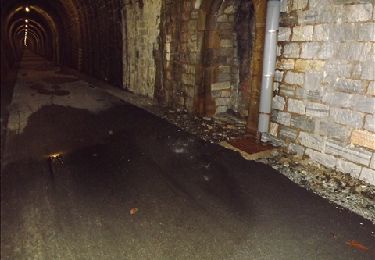
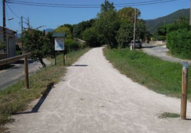
Au cœur du Parc naturel régional, la "piste verte de Mazamet à Bédarieux" est la voie verte du Haut-Languedoc. Cette voie verte est en cours d'aménagement sur l’ancienne voie ferrée.

Wandern
Zu Fuß
Wandern
Wandern

Mountainbike
Wandern
Wandern

Zu Fuß
Wandern