![](/images/other/stat-length.png)
![Tour Mountainbike Méolans-Revel - Espace VTT FFC Vallée de l'Ubaye - Circuit n° 09 - Col de Famouras - Tête de Louis XVI - Photo](https://media.geolcdn.com/t/1900/400/ext.pjpeg?maxdim=2&url=https%3A%2F%2Fservices.sitytrail.com%2FGeolivesWS%2FDownloadMedia.ashx%3FTrailID%3D102306%26Media%3D2771_1.jpg)
Espace VTT FFC Vallée de l'Ubaye - Circuit n° 09 - Col de Famouras - Tête de Louis XVI
tracegps
Benutzer
![Länge](/images/other/stat-length.png)
![Maximale Höhe](https://static1.geolcdn.com/siteimages/upload/files/1508320355ic_sort_altitude_max_24dp.png)
![Positive Höhendifferenz](https://static1.geolcdn.com/siteimages/upload/files/1508320355ic_sort_den_pos_24dp.png)
![Km-Effort](/images/other/stat-length.png)
![Min. Höhe](https://static1.geolcdn.com/siteimages/upload/files/1508320355ic_sort_altitude_min_24dp.png)
![Negative Höhendifferenz](https://static1.geolcdn.com/siteimages/upload/files/1508320355ic_sort_den_neg_24dp.png)
![Boucle](https://static1.geolcdn.com/siteimages/upload/files/16400158638029165_repeat_loop_refresh_sync_direction_icon.png)
![Mountainbike](https://static1.geolcdn.com/sitytour/trail-icons/202.png)
3h00
Schwierigkeit : Sehr schwierig
![Scannen Sie diesen QR-Code, um die Tour in der SityTrail-Anwendung zu öffnen](https://capi.geolives.com/qq0zvz2zws4bq2lad0pu/sitytour/trails/102306/qr.png?size=200)
Kostenlosegpshiking-Anwendung
Über SityTrail
Tour Mountainbike von 10 km verfügbar auf Provence-Alpes-Côte d'Azur, Alpes-de-Haute-Provence, Méolans-Revel. Diese Tour wird von tracegps vorgeschlagen.
Beschreibung
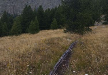
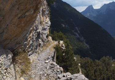
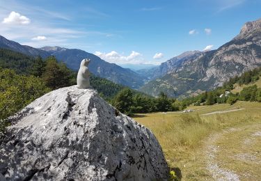
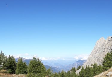
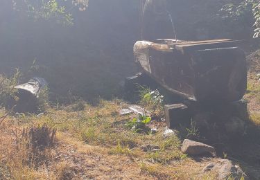
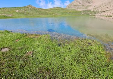
Espace VTT FFC Vallée de l’Ubaye Circuit officiel labellisé par la Fédération Française de Cyclisme. La Vallée de l'Ubaye vous propose plus de 300 Km d'itinéraires balisés et labellisés. De la promenade en famille ou entre amis, jusqu'au raid de plusieurs jours, découvrez ces 19 itinéraires en téléchargeant le Plan général des circuits. Départ, prendre la route direction "les Trons", "la Chanenche" sur 400m. Crédit photos Vallouimages
Ort
Kommentare
Touren in der Umgebung
![Tour Wandern Les Thuiles - les Thuiles/les pras - Photo](https://media.geolcdn.com/t/375/260/8982acdd-e8ee-40c4-bbb8-921949ef8b80.jpg&format=jpg&maxdim=2)
![Wandern Wandern](https://static1.geolcdn.com/sitytour/trail-icons/101.png)
Wandern
![](/images/other/stat-length.png)
![](https://static1.geolcdn.com/siteimages/upload/files/16400158638029165_repeat_loop_refresh_sync_direction_icon.png)
![Tour Mountainbike Méolans-Revel - tour au sud de Méolans - Photo](https://media.geolcdn.com/t/375/260/ext.jpg?maxdim=2&url=https%3A%2F%2Fstatic1.geolcdn.com%2Fsiteimages%2Fupload%2Ffiles%2F1524743154velo.jpg)
![Mountainbike Mountainbike](https://static1.geolcdn.com/sitytour/trail-icons/202.png)
Mountainbike
![](/images/other/stat-length.png)
![](https://static1.geolcdn.com/siteimages/upload/files/16400158638029165_repeat_loop_refresh_sync_direction_icon.png)
![Tour Wandern Les Thuiles - Lac d'Aupillon - Photo](https://media.geolcdn.com/t/375/260/bcfb1921-fa24-4f04-8914-0129c1207ad6.jpg&format=jpg&maxdim=2)
![Wandern Wandern](https://static1.geolcdn.com/sitytour/trail-icons/101.png)
Wandern
![](/images/other/stat-length.png)
![](https://static1.geolcdn.com/siteimages/upload/files/16400158638029165_repeat_loop_refresh_sync_direction_icon.png)
![Tour Wandern Méolans-Revel - tête de Louis xiv, le Peissieou, Clochuille - Photo](https://media.geolcdn.com/t/375/260/aa96e2d9-9dc0-44d8-aee5-71300bf907dd.jpg&format=jpg&maxdim=2)
![Wandern Wandern](https://static1.geolcdn.com/sitytour/trail-icons/101.png)
Wandern
![](/images/other/stat-length.png)
![](https://static1.geolcdn.com/siteimages/upload/files/16400158638029165_repeat_loop_refresh_sync_direction_icon.png)
![Tour Wandern Méolans-Revel - Petite Séolane - Photo](https://media.geolcdn.com/t/375/260/6cabf75f-51a8-4159-8633-9a102773c71d.jpg&format=jpg&maxdim=2)
![Wandern Wandern](https://static1.geolcdn.com/sitytour/trail-icons/101.png)
Wandern
![](/images/other/stat-length.png)
![](https://static1.geolcdn.com/siteimages/upload/files/16400158638029165_repeat_loop_refresh_sync_direction_icon.png)
![Tour Wandern Méolans-Revel - Boucle Col des Terres Blanches - Croix Chateau Renard 20/09/19 - Photo](https://media.geolcdn.com/t/375/260/a03771c9-a0f9-4a4f-b3cc-38826f152726.jpg&format=jpg&maxdim=2)
![Wandern Wandern](https://static1.geolcdn.com/sitytour/trail-icons/101.png)
Wandern
![](/images/other/stat-length.png)
![](https://static1.geolcdn.com/siteimages/upload/files/16400158638029165_repeat_loop_refresh_sync_direction_icon.png)
![Tour Wandern Méolans-Revel - tête de louis 16 - Photo](https://media.geolcdn.com/t/375/260/ext.jpg?maxdim=2&url=https%3A%2F%2Fstatic1.geolcdn.com%2Fsiteimages%2Fupload%2Ffiles%2F1553511878bg_sport_marche.png)
![Wandern Wandern](https://static1.geolcdn.com/sitytour/trail-icons/101.png)
Wandern
![](/images/other/stat-length.png)
![](https://static1.geolcdn.com/siteimages/upload/files/16400158638029165_repeat_loop_refresh_sync_direction_icon.png)
![Tour Wandern Méolans-Revel - tete de Louis XVI - Photo](https://media.geolcdn.com/t/375/260/9e2d9d0e-34df-4d7d-bc50-813b60f79b1b.jpg&format=jpg&maxdim=2)
![Wandern Wandern](https://static1.geolcdn.com/sitytour/trail-icons/101.png)
Wandern
![](/images/other/stat-length.png)
![](https://static1.geolcdn.com/siteimages/upload/files/16400158638029165_repeat_loop_refresh_sync_direction_icon.png)
![Tour Wandern Les Thuiles - lacs et Col de l'Aupillon. 13/07/23 - Photo](https://media.geolcdn.com/t/375/260/81b9b8e0-565d-471c-b612-8a7fc73f2503.jpg&format=jpg&maxdim=2)
![Wandern Wandern](https://static1.geolcdn.com/sitytour/trail-icons/101.png)
Wandern
![](/images/other/stat-length.png)
![](https://static1.geolcdn.com/siteimages/upload/files/16400158638029165_repeat_loop_refresh_sync_direction_icon.png)