


26 km | 33 km-effort

Benutzer


Kostenlosegpshiking-Anwendung
 SityTrail
IGN / Geografische Institute
SityTrail World
Die Welt öffnet sich für Sie
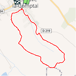
Tour Wandern von 4,4 km verfügbar auf Okzitanien, Aude, Villeneuve-la-Comptal. Diese Tour wird von tracegps vorgeschlagen.
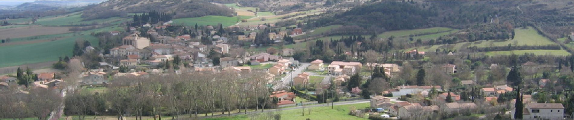
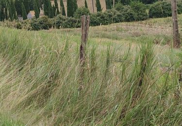
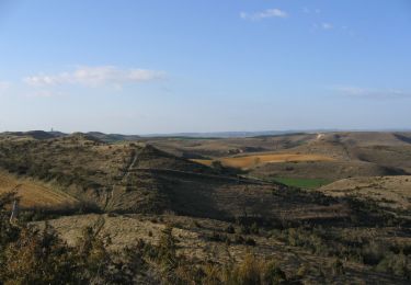
Parking devant l’école de Villeneuve la Comptal Circuit d’une heure sur petit sentier qui emprunte la crête surplombant la plaine Chaurienne depuis le départ jusqu’au Pech haut, point culminant et le plus éloigné de cette boucle. Le retour vers le village s’effectue par une seconde crête avec vue dégagée sur les collines de la Piège.


Mountainbike

Wandern
Radtourismus
Wandern

Mountainbike
Wandern
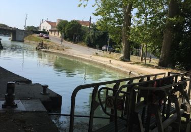
Motorboot
Motorboot
Wandern