


13 km | 20 km-effort

Benutzer


Kostenlosegpshiking-Anwendung
 SityTrail
IGN / Geografische Institute
SityTrail World
Die Welt öffnet sich für Sie
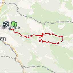
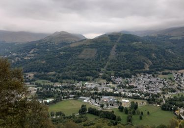
Tour Wandern von 8,8 km verfügbar auf Okzitanien, Hautes-Pyrénées, Villelongue. Diese Tour wird von tracegps vorgeschlagen.
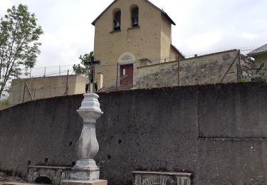
Abbaye de St Orens 8500 m. A Villelongue, trouvez la direction "Abbaye de ST Orens" dans le dédale des rues. A la sortie du village, il y a un petit lotissement de maisons neuves d'ou part le chemin, facile à suivre. Traversez Ortiac tout droit et attaquez la piste qui passe devant un réservoir d'eau. Vous pouvez si vous préférez monter là en voiture. Dans un virage maintenant protégé par un enrochement, il y a un panneau jaune (récent) indiquant Prade. Il descend avant de traverser le ruisseau, puis remonte jusqu'à St Orens 3000m). Continuez le chemin, qui assez vite s'élargit, s'aplatit et redescend. Ne ratez pas l'intersection (à mi-chemin environ, 4000m) qui vous ramène par la droite, juste après un quartier de granges en ruine. Cette piste se voit très mal dans la neige, mais elle est longée par une clôture et traverse le ruisseau. Vous rejoignez la piste vers la Picotte (5000m) et passez le carrefour Prade/Hérou. La piste vous ramène tranquillement dans les bois.


Wandern
Wandern

Zu Fuß
Wandern
Wandern

Wandern
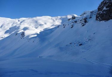
Schneeschuhwandern

Schneeschuhwandern
Wandern
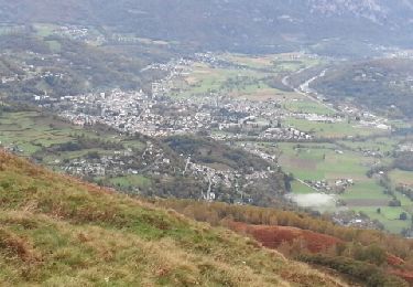
Sympa. Mix de parcours très roulants et singles techniques. Ça reste de la montagne “à vaches” mais c’est un parcours agréable. Merci