


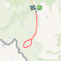

11,4 km | 17,5 km-effort

Benutzer


Kostenlosegpshiking-Anwendung
 SityTrail
IGN / Geografische Institute
SityTrail World
Die Welt öffnet sich für Sie
Tour Wandern von 25 km verfügbar auf Okzitanien, Hautes-Pyrénées, Cauterets. Diese Tour wird von PatDev vorgeschlagen.
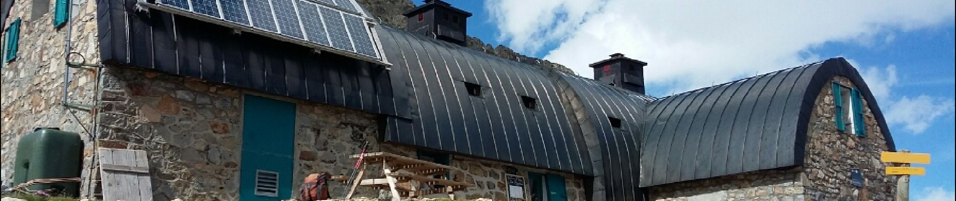
Randonnée longue et difficile surtout sur le chemin de Labas depuis le refuge de Baysselance (Corniche aérienne) et la longue descente du col (éboulis/névés)


Wandern

Wandern

Wandern

Wandern

Wandern

Wandern

Wandern

Wandern

Wandern