


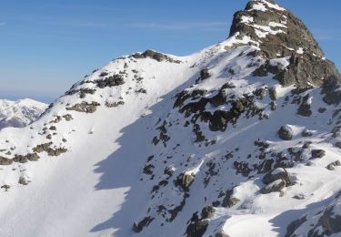
10,7 km | 16,9 km-effort

Benutzer


Kostenlosegpshiking-Anwendung
 SityTrail
IGN / Geografische Institute
SityTrail World
Die Welt öffnet sich für Sie
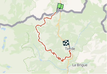
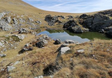
Tour Mountainbike von 26 km verfügbar auf Piemont, Cuneo, Limone Piemonte. Diese Tour wird von tracegps vorgeschlagen.
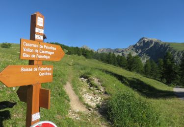
Espace VTT - FFC Haute Roya Circuit labellisé par la Fédération Française de Cyclisme. Ce parcours descendant est certainement le plus agréable. Vous partirez du Col de Tende (1986 m) pour arriver à Tende (850 m) en passant par la Baisse de Peirefique, Baisse d'Ourne et Speggi. L'itinéraire idéal pour se balader en fammille.

Zu Fuß

Wandern
Zu Fuß
Wandern
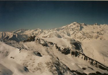
Schneeschuhwandern

Wandern
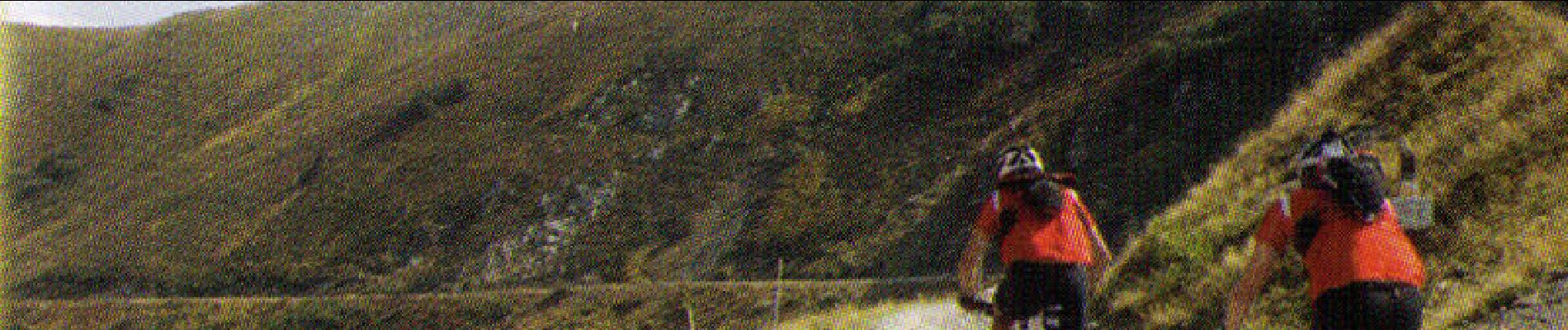
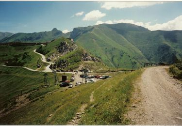
Mountainbike
Wandern