


9,8 km | 13 km-effort

Benutzer


Kostenlosegpshiking-Anwendung
 SityTrail
IGN / Geografische Institute
SityTrail World
Die Welt öffnet sich für Sie
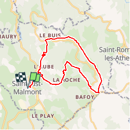
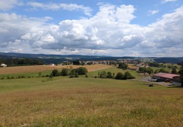
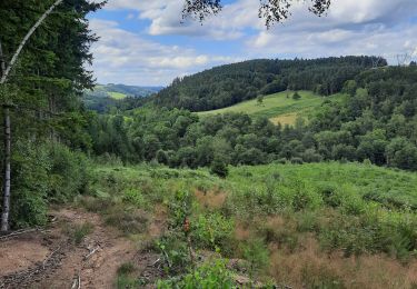
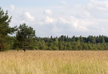
Tour Mountainbike von 15,4 km verfügbar auf Auvergne-Rhone-Alpen, Haute-Loire, Saint-Just-Malmont. Diese Tour wird von tracegps vorgeschlagen.
Espace VTT FFC Le Velay des 3 Rivières Circuit labellisé par la Fédération Française de Cyclisme. Ce circuit, parfois physique mais toujours agréable, évolue entre sous bois et paturages. Le topo-guide Chamina est en vente dans le réseau Chamina, dans les Offices de Tourisme du territoire et auprès du Syndicat d’Initiative.

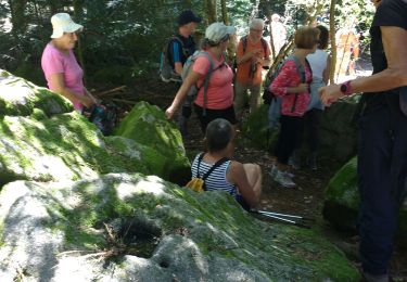
Wandern

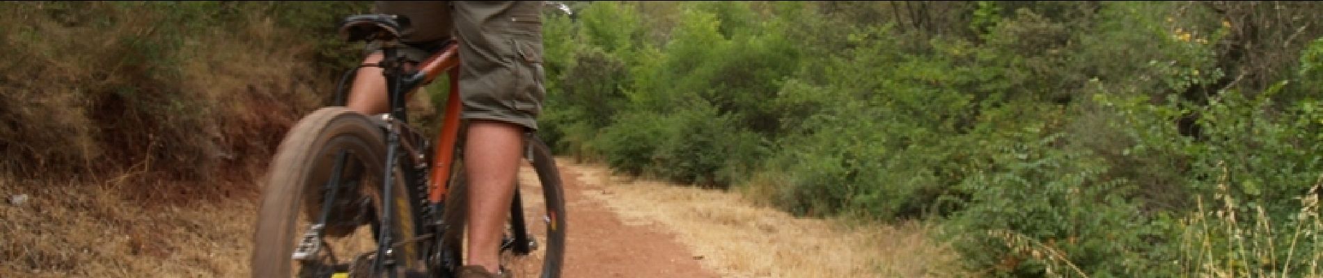
Mountainbike
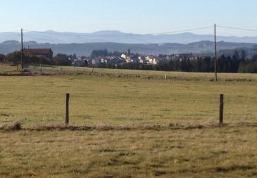
Wandern
Wandern
Wandern
Wandern

Wandern
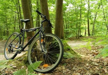
Mountainbike
Mountainbike