


10,2 km | 12,9 km-effort

Benutzer


Kostenlosegpshiking-Anwendung
 SityTrail
IGN / Geografische Institute
SityTrail World
Die Welt öffnet sich für Sie
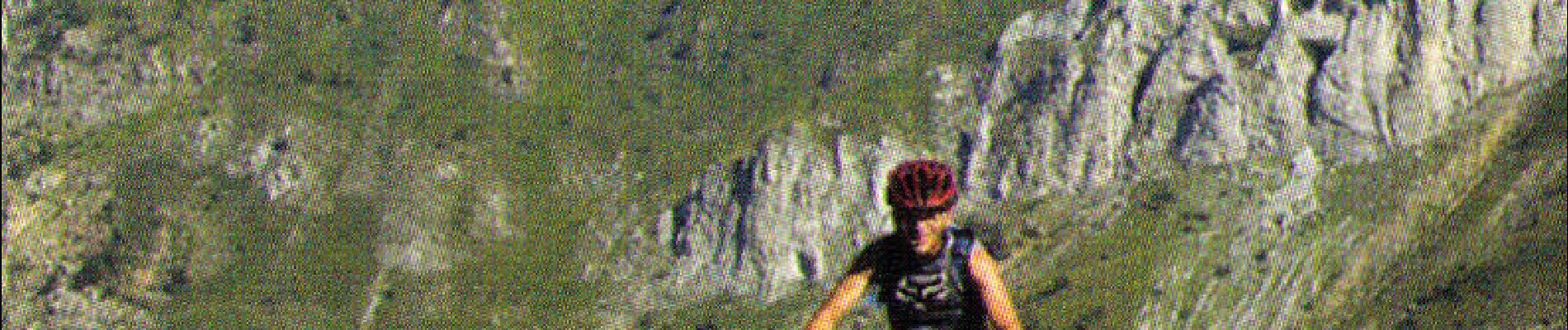
Tour Mountainbike von 14,3 km verfügbar auf Provence-Alpes-Côte d'Azur, Seealpen, Tende. Diese Tour wird von tracegps vorgeschlagen.
Espace VTT - FFC Haute Roya Circuit labellisé par la Fédération Française de Cyclisme. Une longue montée sur route suivie d’une descente de toute beauté où s’alternent des passages techniques trialisants et du sentier rapide.


Wandern

Wandern

Wandern
Schneeschuhwandern

Wandern
Wandern
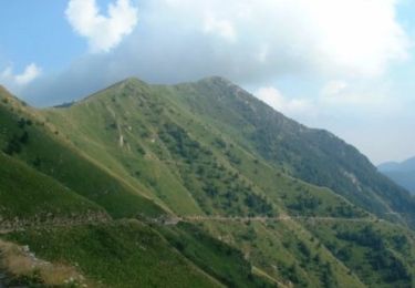
Mountainbike
Wandern

Zu Fuß