


9,4 km | 12,6 km-effort


Benutzer


Kostenlosegpshiking-Anwendung
 SityTrail
IGN / Geografische Institute
SityTrail World
Die Welt öffnet sich für Sie
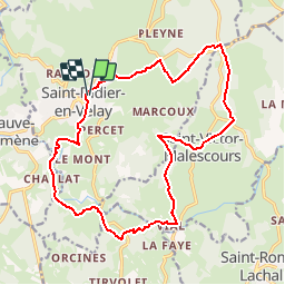
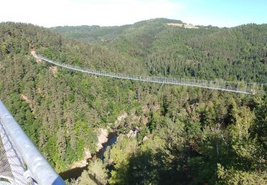
Tour Mountainbike von 18,4 km verfügbar auf Auvergne-Rhone-Alpen, Haute-Loire, Saint-Didier-en-Velay. Diese Tour wird von tracegps vorgeschlagen.
Espace VTT FFC Le Velay des 3 Rivières Circuit labellisé par la Fédération Française de Cyclisme. Légère montée entre St Didier et Champdolent pour ce circuit, qui se laisse redescendre de manière plus heurtée jusqu'à son point de départ. Le topo-guide Chamina est en vente dans le réseau Chamina, dans les Offices de Tourisme du territoire et auprès du Syndicat d’Initiative.

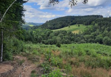
Wandern

Mountainbike
Reiten
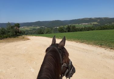
Reiten
Mountainbike
Wandern
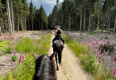
Reiten

Zu Fuß

Wandern