


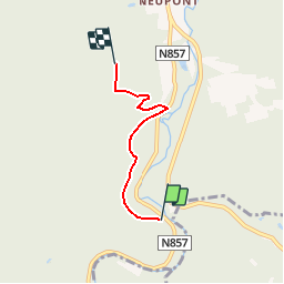


26 km | 33 km-effort

Benutzer GUIDE


Kostenlosegpshiking-Anwendung
 SityTrail
IGN / Geografische Institute
SityTrail World
Die Welt öffnet sich für Sie
Tour Wandern von 3 km verfügbar auf Wallonien, Luxemburg, Wellin. Diese Tour wird von grande_foret_sthubert vorgeschlagen.
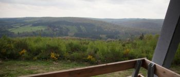
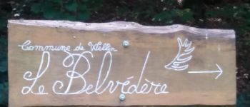
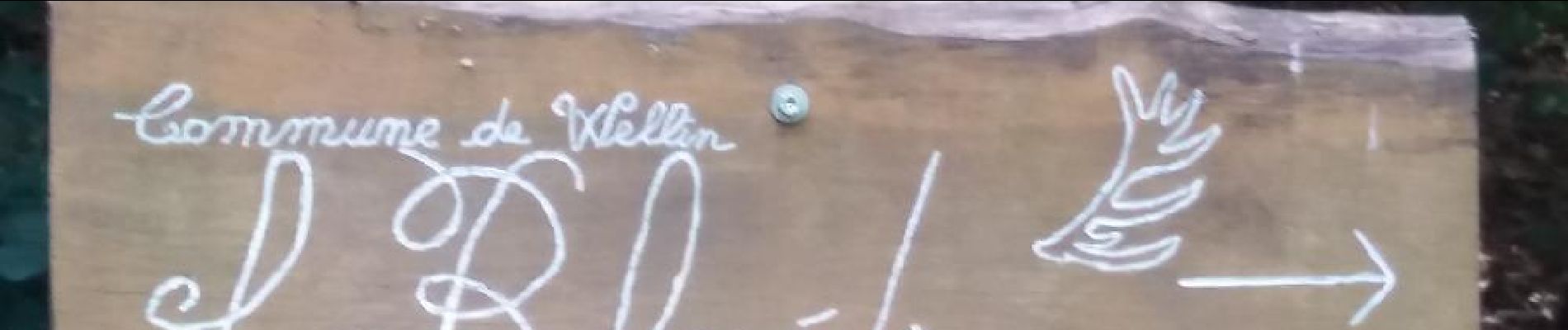
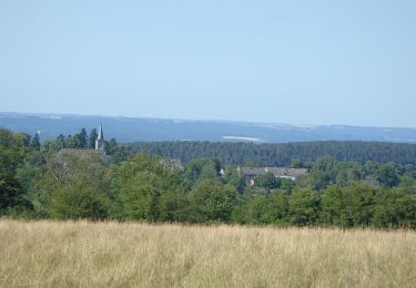
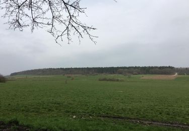
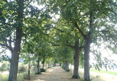
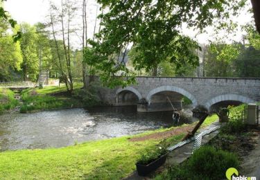
Une balade sportive vous conduira des bords de la Lesse au Belvédère de Wellin. Le retour s'effectue par le même chemin.


Wandern

Wandern

Wandern
Wandern
Wandern

Wandern
Wandern

Wandern

Wandern