


14,9 km | 20 km-effort

Benutzer


Kostenlosegpshiking-Anwendung
 SityTrail
IGN / Geografische Institute
SityTrail World
Die Welt öffnet sich für Sie
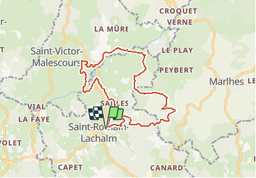
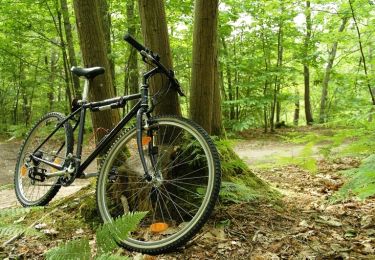
Tour Mountainbike von 16 km verfügbar auf Auvergne-Rhone-Alpen, Haute-Loire, Saint-Romain-Lachalm. Diese Tour wird von tracegps vorgeschlagen.
Espace VTT FFC Le Velay des 3 Rivières Circuit labellisé par la Fédération Française de Cyclisme. La pratique du VTT constituant une des demandes majeures exprimées par les touristes et la population locale, la création d'un réseau de circuits V.T.T. a été décidée. 38 circuits ont été sélectionnés représentant 327 km de chemins ou sentiers appartenant au domaine public des communes. Enfin, pour parfaire la promotion de ce produit, le territoire est agréé, par la Fédération Française de Cyclisme (F.F.C.), Espace V.T.T. En contrepartie, cette recherche de qualité et ce label apporteront une notoriété importante à la région, auprès de tous les amateurs car l'Espace V.T.T. Velay des Trois Rivières bénéficie de la promotion faite par la F.F.C. et par Chamina, au niveau national. Le topo-guide est actuellement en vente dans le réseau Chamina, dans les Offices de Tourisme du territoire et auprès du Syndicat d’Initiative.

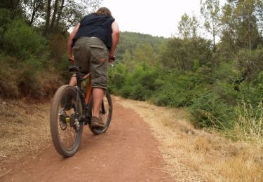
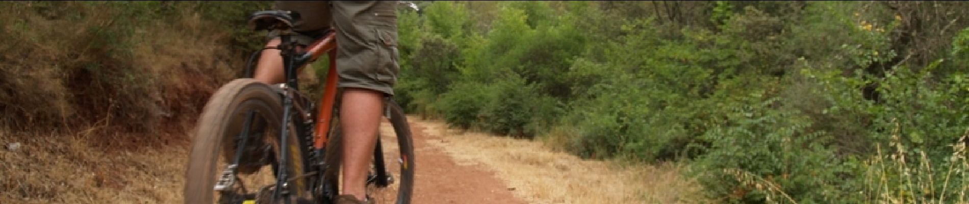
Mountainbike
Wandern
Wandern
Mountainbike
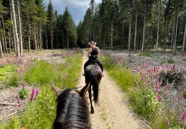
Reiten

Zu Fuß

Wandern
Mountainbike
Mountainbike