


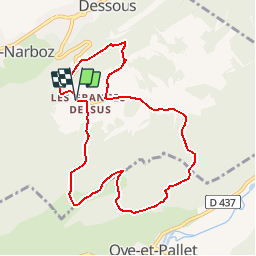

8,2 km | 10,7 km-effort

Benutzer


Kostenlosegpshiking-Anwendung
 SityTrail
IGN / Geografische Institute
SityTrail World
Die Welt öffnet sich für Sie
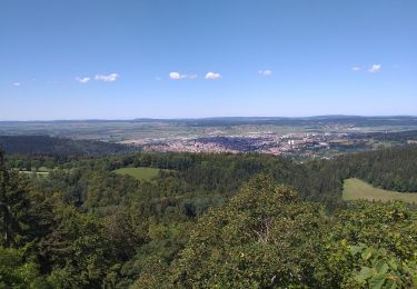
Tour Mountainbike von 8,5 km verfügbar auf Burgund und Freigrafschaft, Doubs, Granges-Narboz. Diese Tour wird von tracegps vorgeschlagen.
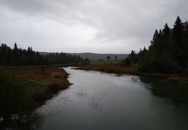
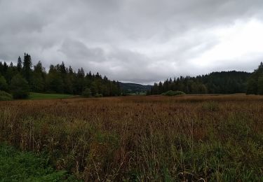
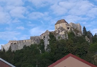
Espace VTT FFC les Monts D'Arlier - Château de Joux Circuit labellisé par la Fédération Française de Cyclisme. Ce circuit vous emmène à travers forêts, prés, bois et pâturages, à la découverte de la montagne du Laveron.

Zu Fuß
Zu Fuß
Wandern
Wandern
Wandern
Wandern
Wandern
Wandern
Wandern