


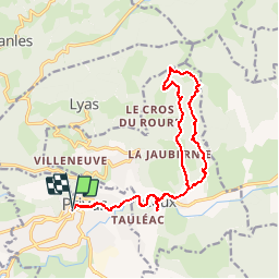

19,1 km | 29 km-effort


Benutzer


Kostenlosegpshiking-Anwendung
 SityTrail
IGN / Geografische Institute
SityTrail World
Die Welt öffnet sich für Sie
Tour Mountainbike von 17,4 km verfügbar auf Auvergne-Rhone-Alpen, Ardèche, Privas. Diese Tour wird von tracegps vorgeschlagen.
VOICI une très jolie balade, avec une descente digne des meilleurs enduros créée par Mr Roland Grenier.... Vous pouvez partir de Coux village, possibilité de se garer devant l école pour éviter la route Privas Coux.... Attention quelques road gap avec échappatoire dans la descente. Ma cuisse et l’hôpital de Privas s en souviennent. Mais des paysages magnifiques sur les hauteurs de Privas.

Wandern

Wandern

Wandern
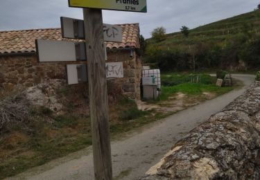
Wandern

Wandern
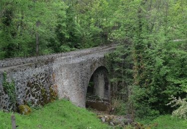
Wandern

Wandern
Wandern
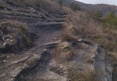
Wandern
pourquoi ce changement, comprend rien, vrai merde