


10,4 km | 15,2 km-effort

Benutzer


Kostenlosegpshiking-Anwendung
 SityTrail
IGN / Geografische Institute
SityTrail World
Die Welt öffnet sich für Sie
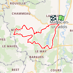
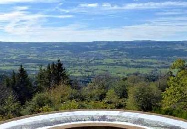
Tour Mountainbike von 15 km verfügbar auf Auvergne-Rhone-Alpen, Puy-de-Dôme, Marsac-en-Livradois. Diese Tour wird von tracegps vorgeschlagen.
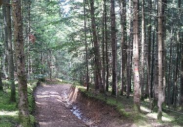
Centre VTT - FFC du Pays d’Ambert n° 72 Circuit labellisé par la Fédération Française de Cyclisme. Au départ de Marsac le circuit s'élève en direction de Mirat en serpentant dans la forêt. Une première descente vous conduit près de Faillargues à travers genêts et sapins. La seconde descente plus caillouteuse et technique se termine par un single track qui vous ramène dans la vallée en bordure de l'étang (privé) de Riols. Ce circuit peut se combiner avec les circuits n° 5 (23Km) et n° 7 (22Km), au départ d'Ambert.


Zu Fuß
Zu Fuß
Wandern
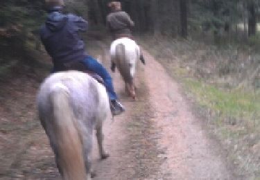
Pferd

Zu Fuß
Zu Fuß
Wandern
Wandern
Wandern