


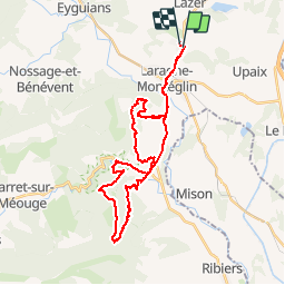

10,6 km | 17,4 km-effort


Benutzer


Kostenlosegpshiking-Anwendung
 SityTrail
IGN / Geografische Institute
SityTrail World
Die Welt öffnet sich für Sie
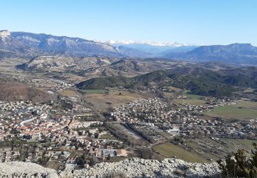
Tour Mountainbike von 35 km verfügbar auf Provence-Alpes-Côte d'Azur, Hochalpen, Lazer. Diese Tour wird von tracegps vorgeschlagen.
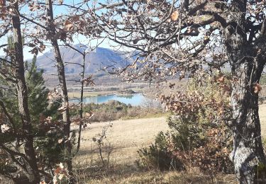
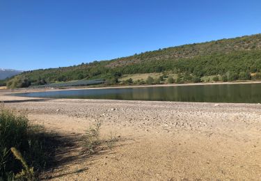
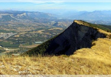
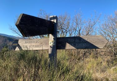
Une rando avec deux montées type "punition" puis la descente de Saint Cyr une vingtaine de minutes de bonheur. Attention aux feuilles et aux gelées l'hiver.
Wandern
Wandern

Mountainbike
Wandern

sport
Wandern
Wandern
Wandern
Wandern