


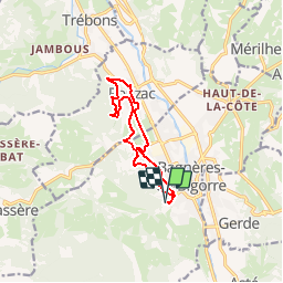

18,2 km | 30 km-effort

Benutzer


Kostenlosegpshiking-Anwendung
 SityTrail
IGN / Geografische Institute
SityTrail World
Die Welt öffnet sich für Sie
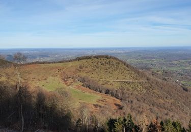
Tour Mountainbike von 10,9 km verfügbar auf Okzitanien, Hautes-Pyrénées, Bagnères-de-Bigorre. Diese Tour wird von tracegps vorgeschlagen.
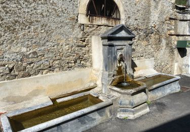
Haute Bigorre Circuit labellisé par la Fédération Française de Cyclisme. Traversée des anciens parcs dse villas bourgeoises de la Belle Epoque. Au retour, une halte à la fontaine Saint-Blaise permet de se désaltérer. Téléchargez le descriptif et le plan.


Wandern
Wandern
Wandern
Wandern

Rennrad
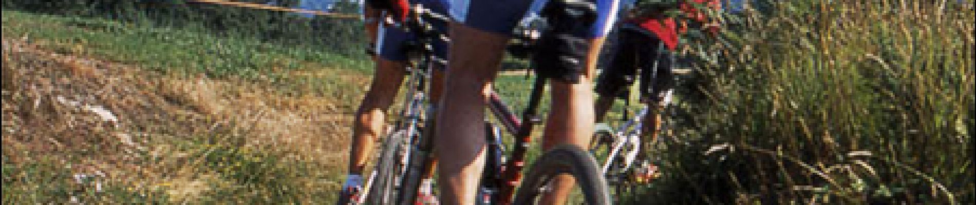
Mountainbike

Wandern

Wandern
Wandern