


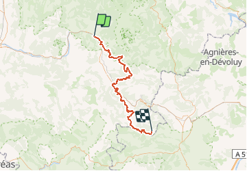

6,9 km | 11,1 km-effort

Benutzer


Kostenlosegpshiking-Anwendung
 SityTrail
IGN / Geografische Institute
SityTrail World
Die Welt öffnet sich für Sie
Tour Mountainbike von 77 km verfügbar auf Auvergne-Rhone-Alpen, Drôme, Die. Diese Tour wird von tracegps vorgeschlagen.
Edition 2007 Ce Raid VTT est destiné à promouvoir l'itinéraire permanent qui relie la vallée du Rhône aux Alpes du sud (Ouest-Est) et le Vercors à la Provence (Nord-Sud) dont vous trouverez de plus amples informations sur Les chemins du soleil. Cette épreuve est organisée par le Conseil Général de la Drôme en partenariat avec les villes de Die et Gap et les Hautes Alpes. Elle est composée de deux groupes de participants, Elite et Rando. Chacun des groupes a trois épreuves à réaliser et la troisième est commune aux deux groupes. Ce parcours est la première étape du groupe Rando.


Nordic Walking

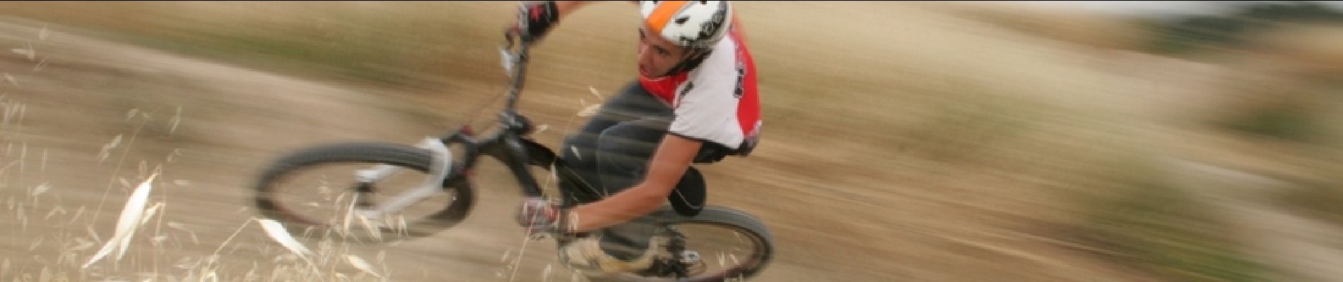
Mountainbike
Wandern

Wandern


sport

Wandern

Wandern

Wandern

sport