


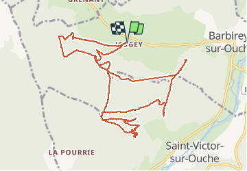

10,5 km | 15,9 km-effort

Benutzer


Kostenlosegpshiking-Anwendung
 SityTrail
IGN / Geografische Institute
SityTrail World
Die Welt öffnet sich für Sie
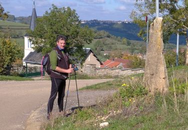
Tour Wandern von 13,4 km verfügbar auf Burgund und Freigrafschaft, Côte-d'Or, Barbirey-sur-Ouche. Diese Tour wird von dominiq vorgeschlagen.
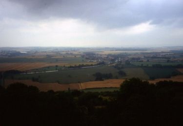
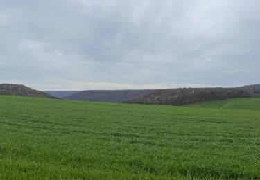
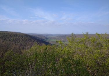
Trés belle randonnée un peu en dehors des sentiers balisés...
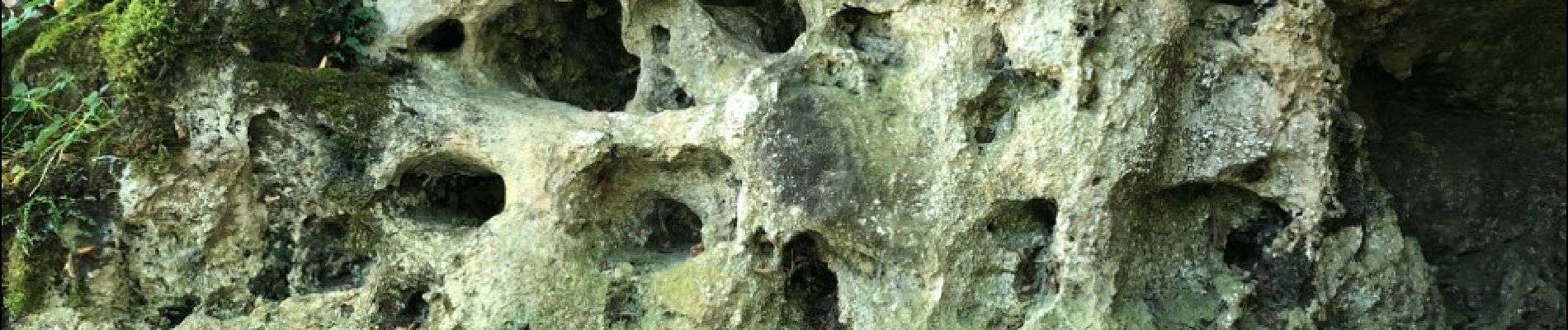
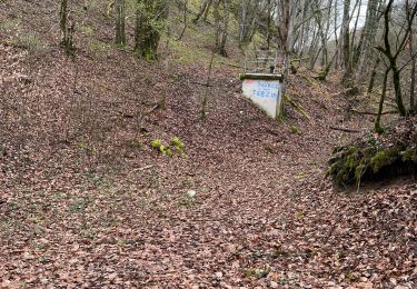
La grotte de Tebzima vaut le détour mais elle se mérite ! Les photos sont celles de la petite grotte qui est en dessous.


Wandern
Wandern
Wandern
Wandern
Wandern
Wandern
Zu Fuß
Wandern


sport